


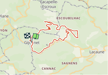

11.3 km | 14.6 km-effort


User


FREE GPS app for hiking
 SityTrail
IGN / Geographical institutes
SityTrail World
The world is yours!
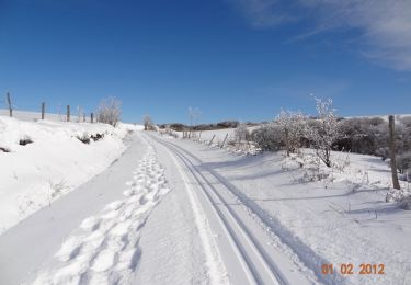
Trail Walking of 18.9 km to be discovered at Occitania, Tarn, Gijounet. This trail is proposed by jab31.
Puech del Mort; chemins forestiers et bord gijou
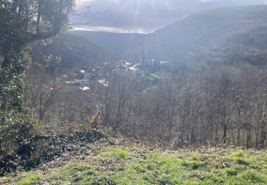
Walking
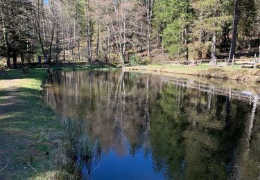
Walking
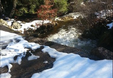

Snowshoes

Mountain bike
Walking

Walking
