


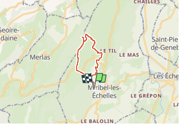


12.7 km | 18 km-effort

User


FREE GPS app for hiking
 SityTrail
IGN / Geographical institutes
SityTrail World
The world is yours!
Trail Walking of 9.5 km to be discovered at Auvergne-Rhône-Alpes, Isère, Miribel-les-Échelles. This trail is proposed by choubaka77.
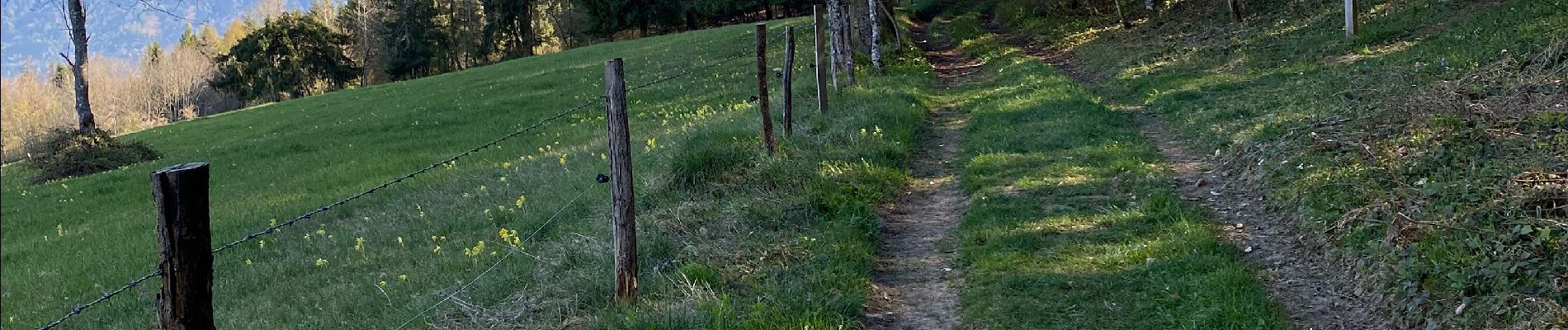
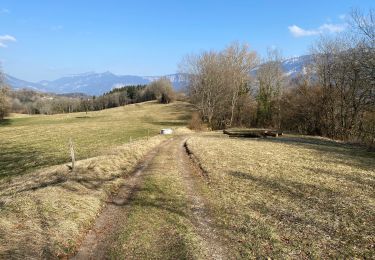
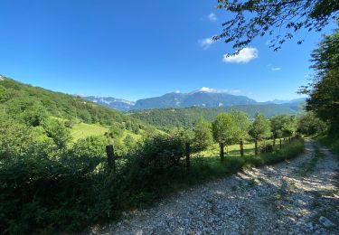
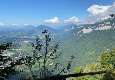
Superbe balade en balcon au dessus de la vallée du Guier avec un panorama à 180 sur tout le versant ouest du massif de la Chartreuse


Walking

Horseback riding
Horseback riding
Walking
Walking
Walking
Hybrid bike

Running
Walking