


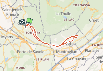

7.6 km | 15 km-effort

User


FREE GPS app for hiking
 SityTrail
IGN / Geographical institutes
SityTrail World
The world is yours!
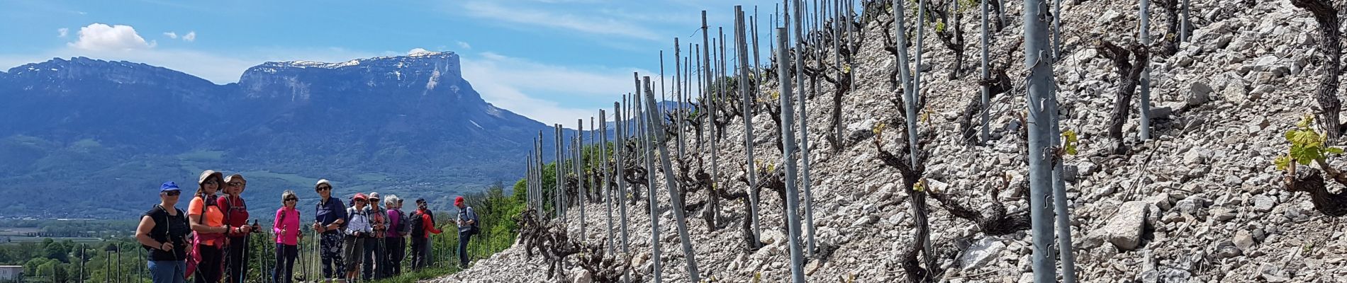
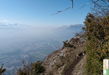
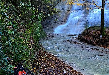
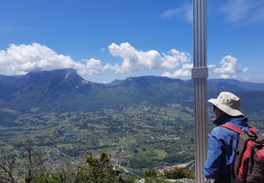
Trail Nordic walking of 15.2 km to be discovered at Auvergne-Rhône-Alpes, Savoy, Chignin. This trail is proposed by patjobou.
Belle boucle de Marche Nordique sur les coteaux Baugeois. Compter 5h en tout, avec pauses et repas.


Walking
Walking
Mountain bike
Walking
Walking

Walking
Walking
Walking
Walking