


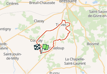
Courlay terves Mct

viaul
User GUIDE

Length
23 km

Max alt
230 m

Uphill gradient
230 m
Km-Effort
26 km

Min alt
174 m

Downhill gradient
229 m
Boucle
Yes
Creation date :
2022-04-20 07:22:58.0
Updated on :
2022-04-20 13:19:37.936
5h27
Difficulty : Easy

FREE GPS app for hiking
 SityTrail
IGN / Geographical institutes
SityTrail Plus
The world is yours!
About
Trail Walking of 23 km to be discovered at New Aquitaine, Deux-Sèvres, Moncoutant-sur-Sèvre. This trail is proposed by viaul.
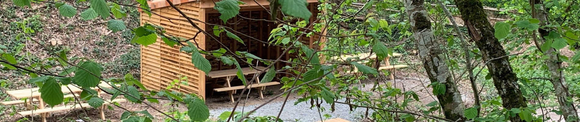
Photos


Positioning
Country:
France
Region :
New Aquitaine
Department/Province :
Deux-Sèvres
Municipality :
Moncoutant-sur-Sèvre
Location:
Moncoutant
Start:(Dec)
Start:(UTM)
686789 ; 5181197 (30T) N.
Comments