


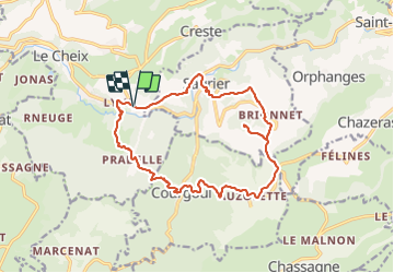

8.2 km | 12 km-effort


User GUIDE


FREE GPS app for hiking
 SityTrail
IGN / Geographical institutes
SityTrail World
The world is yours!
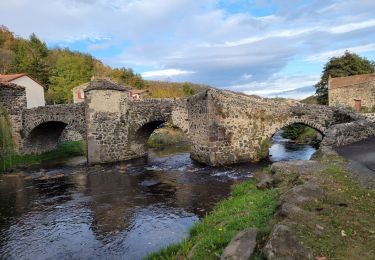
Trail Walking of 16.8 km to be discovered at Auvergne-Rhône-Alpes, Puy-de-Dôme, Saint-Diéry. This trail is proposed by jagarnier.
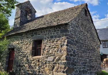
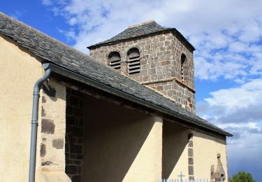
Un site magique. La chapelle est perchée sur son piton basaltique à 927 mètres d'altitude. De là-haut, la vue est absolument magnifique : Vous embrasserez l'Auvergne avec la chaîne des Puys, le massif du Sancy et la vallée de la Couze Pavin.


Walking
On foot
On foot
On foot
On foot
Walking
On foot
On foot
Walking