


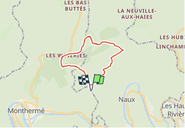


15.3 km | 21 km-effort

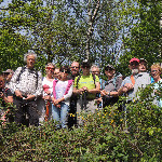
Dynamique et joyeuse


FREE GPS app for hiking
 SityTrail
IGN / Geographical institutes
SityTrail World
The world is yours!
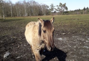
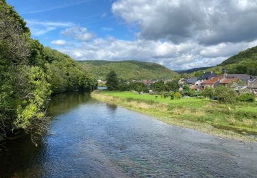
Trail Walking of 9.6 km to be discovered at Grand Est, Ardennes, Thilay. This trail is proposed by Marche de Prix L M.

Walking

Walking

Walking
Walking
Walking
Walking
Walking
Walking

Walking