


Le Clédou 01-05-2022

jmrobin
User
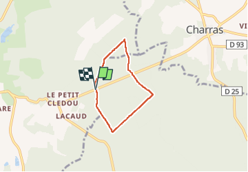

Length
4.6 km

Max alt
219 m

Uphill gradient
75 m
Km-Effort
5.6 km

Min alt
157 m

Downhill gradient
71 m
Boucle
Yes
Creation date :
2022-05-01 13:44:08.813
Updated on :
2022-05-01 14:58:25.859
1h13
Difficulty : Easy

FREE GPS app for hiking
 SityTrail
IGN / Geographical institutes
SityTrail Plus
The world is yours!
About
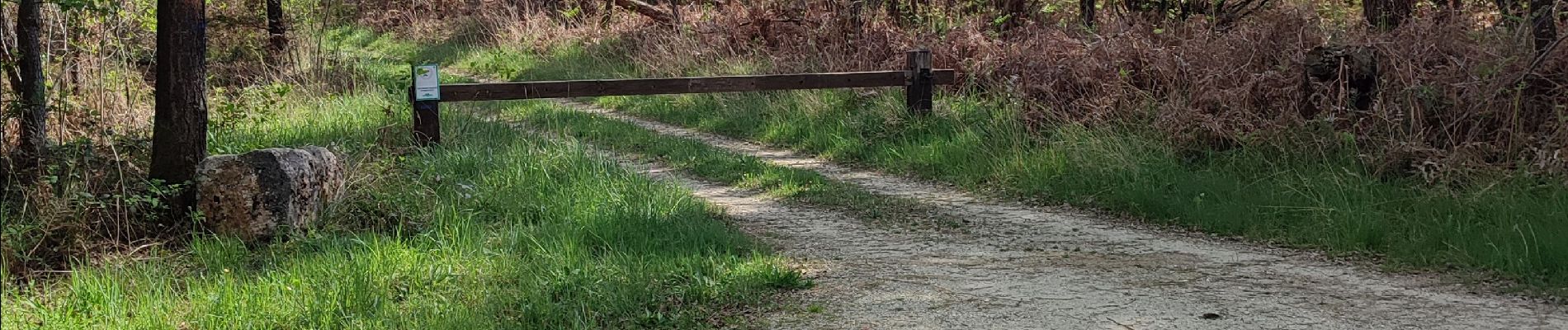
Trail Walking of 4.6 km to be discovered at New Aquitaine, Charente, Combiers. This trail is proposed by jmrobin.
Photos

Positioning
Country:
France
Region :
New Aquitaine
Department/Province :
Charente
Municipality :
Combiers
Location:
Unknown
Start:(Dec)
Start:(UTM)
296054 ; 5045455 (31T) N.
Comments