


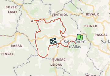

56 km | 75 km-effort


User


FREE GPS app for hiking
 SityTrail
IGN / Geographical institutes
SityTrail World
The world is yours!
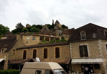
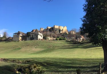
Trail Mountain bike of 16.9 km to be discovered at New Aquitaine, Dordogne, Saint-André-d'Allas. This trail is proposed by touareg3400.
On foot
Walking
Walking
Walking
Other activity

Walking

Walking
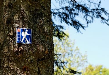
Walking

Walking