


22 km | 26 km-effort

« L’heure de la fin des découvertes ne sonne jamais. » Colette GUIDE+


FREE GPS app for hiking
 SityTrail
IGN / Geographical institutes
SityTrail World
The world is yours!
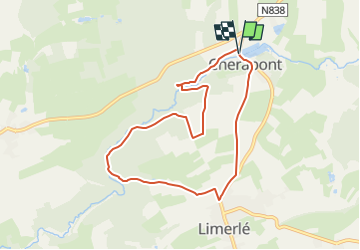
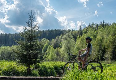
Trail Walking of 7.3 km to be discovered at Wallonia, Luxembourg, Gouvy. This trail is proposed by Au fil de nos découvertes.
🅿️ Départ et Parking:
Lac de Cherapont 2
6670 Gouvy
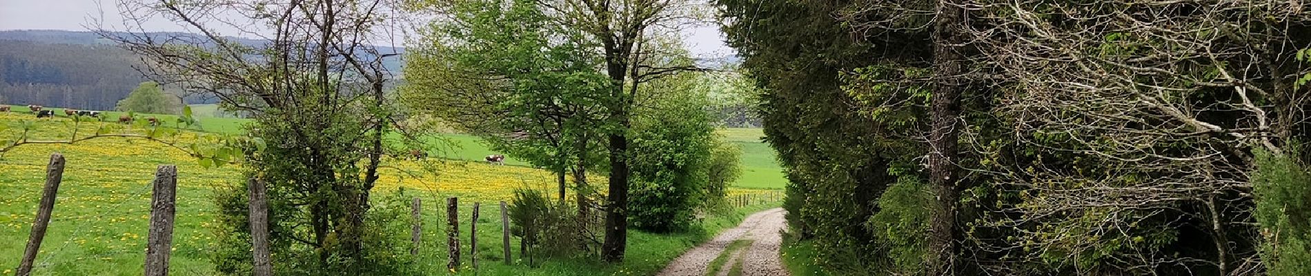
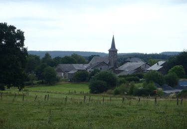
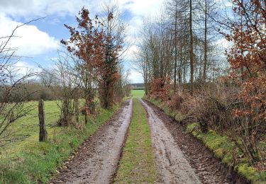
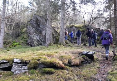
Cette promenade au départ du lac de Cherapont vous emmènera vers le village de Limerlé.
Vous reviendrez en longeant l'Ourthe orientale .
N'hésitez pas à aller faire un tour sur notre site internet et nos réseaux :
www.aufildenosdecouvertes.com
www.facebook.com/aufildenosdecouvertes
https://www.instagram.com/au_fil_de_nos_decouvertes


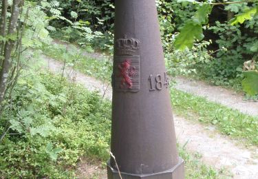
Walking
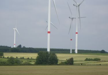
Walking
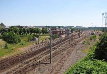
Walking
Walking

Walking
Walking
Mountain bike

Mountain bike