


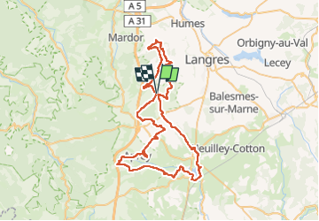

15.1 km | 18.9 km-effort


User


FREE GPS app for hiking
 SityTrail
IGN / Geographical institutes
SityTrail World
The world is yours!
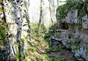
Trail Mountain bike of 70 km to be discovered at Grand Est, Haute-Marne, Noidant-le-Rocheux. This trail is proposed by lionel.marcoux.
Jusqu’à Aprey
Walking
Nordic walking
Cycle

Walking

Mountain bike
Walking

Mountain bike
Electric bike
Mountain bike