


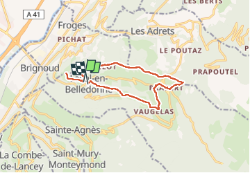

12.4 km | 21 km-effort

User


FREE GPS app for hiking
 SityTrail
IGN / Geographical institutes
SityTrail World
The world is yours!
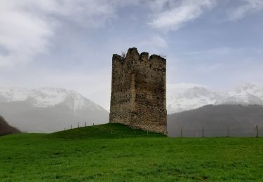
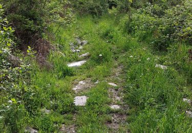
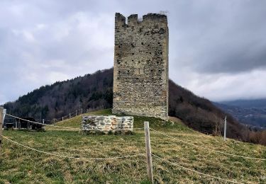
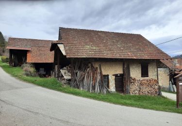
Trail Walking of 13.5 km to be discovered at Auvergne-Rhône-Alpes, Isère, Laval-en-Belledonne. This trail is proposed by Emelle.
Belle randonnée campagnarde, bucolique et riche en patrimoine bien documenté sur le parcours. Hormis quelques montées un peu soutenue et une descente raide après Blérot, aucune difficulté.


Walking
On foot
On foot
Walking
Walking
Walking

Walking
Walking

Touring skiing