


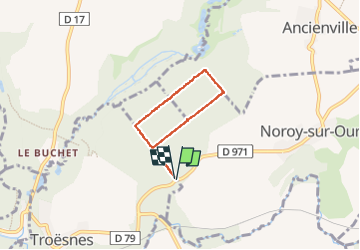


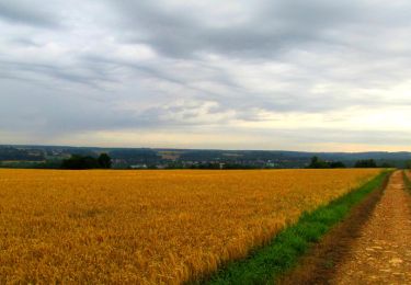
12.3 km | 15.1 km-effort

forêts de France


FREE GPS app for hiking
 SityTrail
IGN / Geographical institutes
SityTrail World
The world is yours!
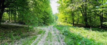
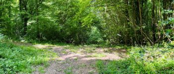
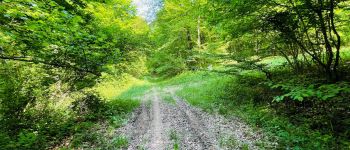
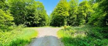
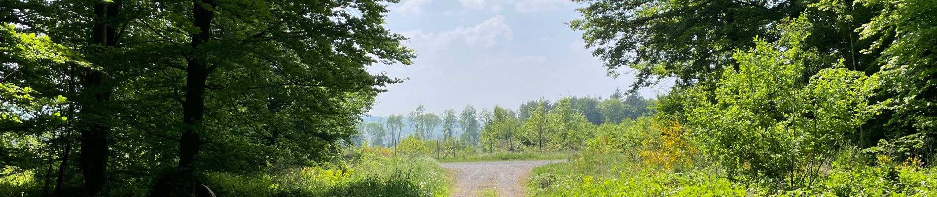
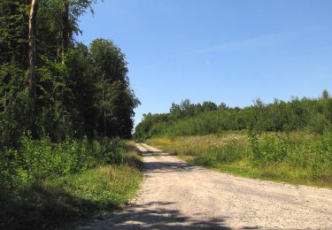
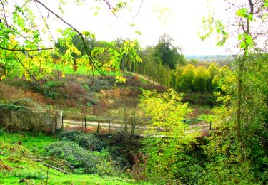
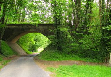
Trail Walking of 4.2 km to be discovered at Hauts-de-France, Aisne, Noroy-sur-Ourcq. This trail is proposed by en forêt de Retz.
voir aussi: //foret-de-retz.fr/
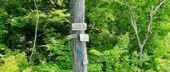
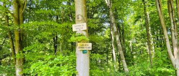
objectifs: refaire tous les carrefours nommés dans le Bois de Cresnes.
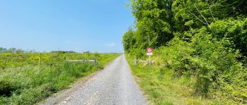
randonnée facile.
Au départ du carrefour de la D791 avec la Route du Moulin de l'Isle, suivre cette route jusqu'au carrefour du Débuché. Tourner à droite sur la Laie de la Grande Plaine et aller jusqu'au carrefour du Vaillard. Tourner à droite pour aller au carrefour de Noroy. Tourner à droite et continuer jusqu'au carrefour de la Place aux Veaux puis revenir au point de départ en tournant à gauche.


Walking
Walking
Walking
Walking
Walking
Walking
Walking
Walking
Walking