


4.2 km | 5.3 km-effort

forêts de France


FREE GPS app for hiking
 SityTrail
IGN / Geographical institutes
SityTrail World
The world is yours!
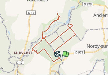
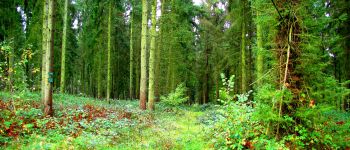
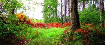
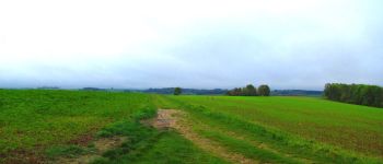
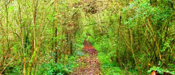
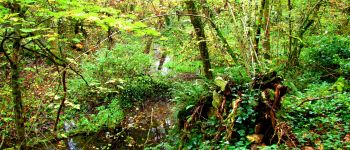
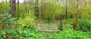
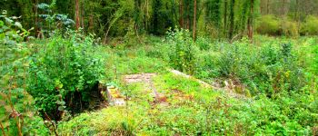
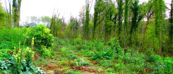
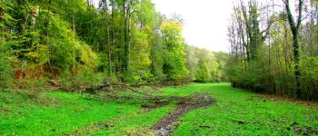
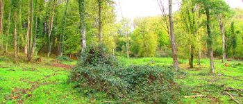
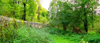
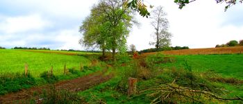
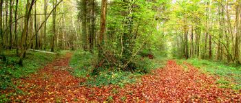
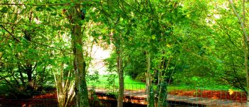
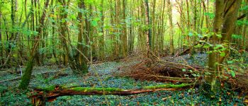
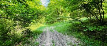
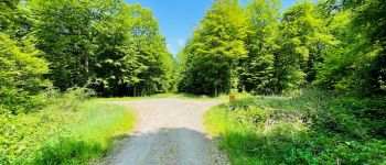
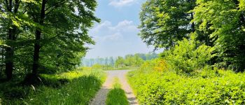
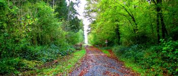
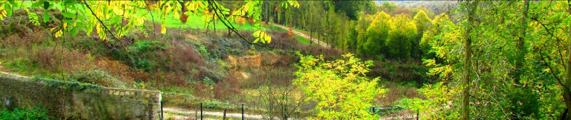
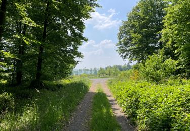
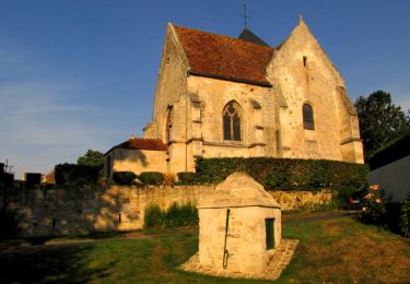
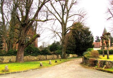
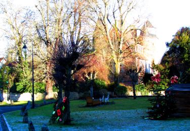
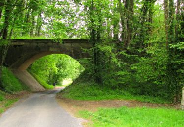
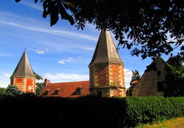
Trail Walking of 10.6 km to be discovered at Hauts-de-France, Aisne, Noroy-sur-Ourcq. This trail is proposed by en forêt de Retz.
voir aussi:
http://foret-de-retz.over-blog.com/
10/ 2017
batterie de recharge pour iphone conseillée
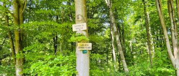
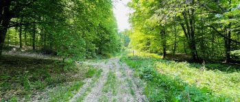
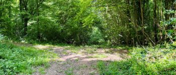
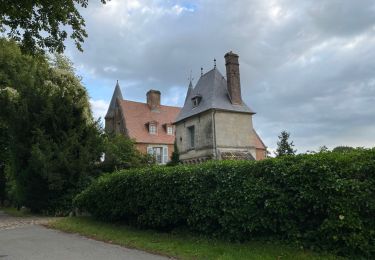
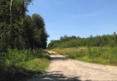
Au départ du carrefour de la D971 avec la route du Moulin de l'Isle, suivre cette route jusqu'au carrefour avec la route de Tröesne. Continuer à gauche sur cette route jusqu'au carrefour avec la laie de la Grande Plaine. Tourner à gauche dans cette laie pour rejoindre le carrefour avec le GR de Pays des Quatre Vallées. Le suivre sur la droite. Tourner à droite pour suivre le chemin qui longe le ru du flottage. Traverser la Savières et continuer à droite jusqu'aux bordures du domaine du château de Maucreux. Revenir sur ses pas. Prendre la route du Moulin de l'Isle jusqu'au carrefour Débuché. Tourner à gauche dans la laie de la Grande Plaine. La suivre jusqu'au carrefour du Vaillard. Tourner à gauche dans le sentier jusqu'aux bordures du domaine du château de Maucreux (difficle). Revenir sur la laie de la Grande Plaine. Prendre à gauche du carrefour de Vaillard jusqu'au carrefour de Noroy. Tourner à droite et suivre la laie de la Petite Plaine jusqu'au carrefour de la Place des Veaux. Tourner à gauche dans la route du Moulin de l'Isle pour revenir au point de départ.


81 photos in total. Please click on a photo to see them all in the gallery.
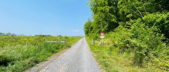
Walking
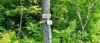
Walking
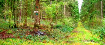
Walking
Walking
Walking
Walking
Walking
Walking
Walking