


Marsanne 4

parastat
User
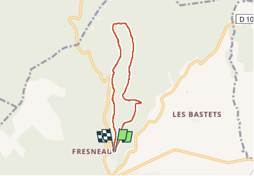

Length
6 km

Max alt
553 m

Uphill gradient
241 m
Km-Effort
9.3 km

Min alt
341 m

Downhill gradient
247 m
Boucle
Yes
Creation date :
2022-05-10 12:08:17.515
Updated on :
2022-05-10 15:17:38.211
2h00
Difficulty : Medium

FREE GPS app for hiking
 SityTrail
IGN / Geographical institutes
SityTrail Plus
The world is yours!
About
Trail Walking of 6 km to be discovered at Auvergne-Rhône-Alpes, Drôme, Marsanne. This trail is proposed by parastat.
Description
Pratiquement toute la montée et une partie de la descente sont à l'ombre
La dernière descente est un peu pénible.
Petite boucle pour quand on a peu de temps.
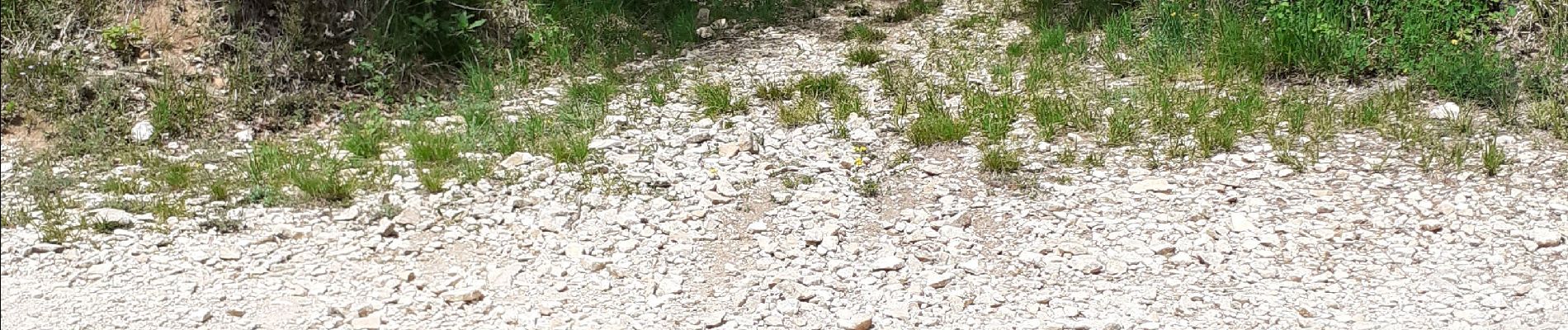
Photos

Positioning
Country:
France
Region :
Auvergne-Rhône-Alpes
Department/Province :
Drôme
Municipality :
Marsanne
Location:
Unknown
Start:(Dec)
Start:(UTM)
648613 ; 4945602 (31T) N.
Comments