


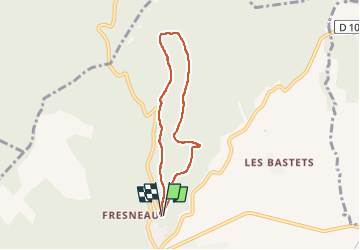

10 km | 14.5 km-effort

User


FREE GPS app for hiking
 SityTrail
IGN / Geographical institutes
SityTrail World
The world is yours!
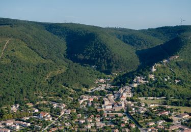
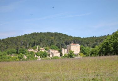
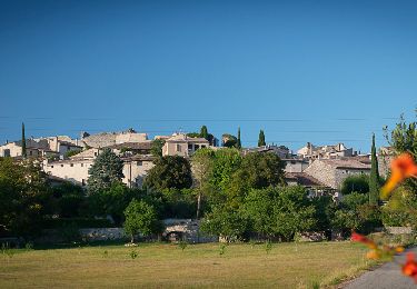
Trail Walking of 6 km to be discovered at Auvergne-Rhône-Alpes, Drôme, Marsanne. This trail is proposed by parastat.
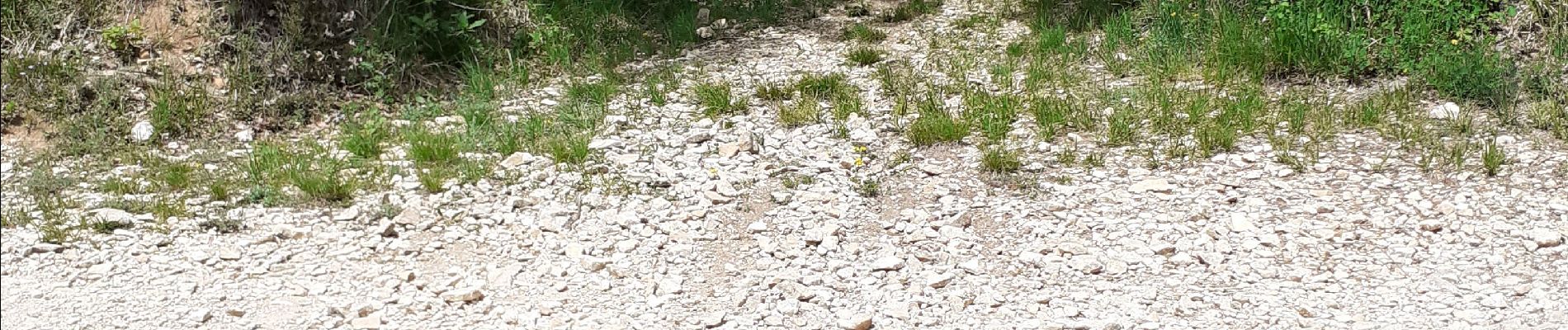
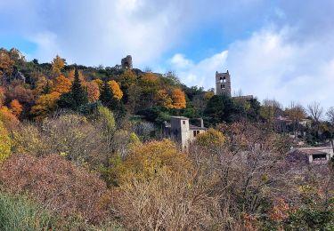
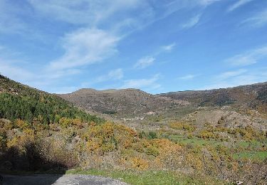
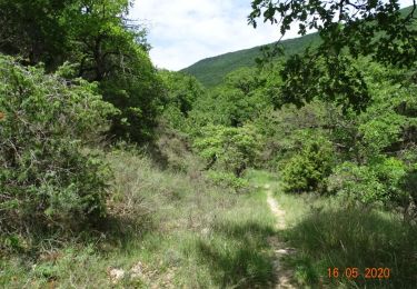
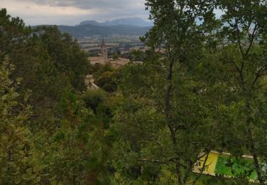
Pratiquement toute la montée et une partie de la descente sont à l'ombre
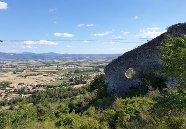
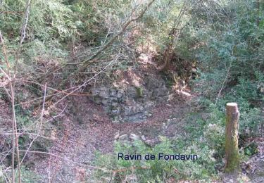
La dernière descente est un peu pénible.
Petite boucle pour quand on a peu de temps.

Walking
Walking
Walking
Walking
Walking
Walking
Walking
Walking
Walking