


11.5 km | 14.5 km-effort

User


FREE GPS app for hiking
 SityTrail
IGN / Geographical institutes
SityTrail World
The world is yours!
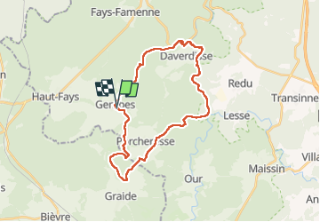
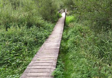
Trail Walking of 29 km to be discovered at Wallonia, Luxembourg, Daverdisse. This trail is proposed by ypihan.
28 Km de pur bonheur à travers cette belle région la moins peuplée de Belgique. La randonné à pris toute la journée. Les derniers km sont à revoir car le chemin s'est terminé en cul de sac, du coup, 200 mètres dans les fourrées ont été nécessaires pour retrouver un chemin et poursuivre.
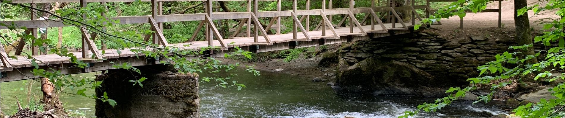
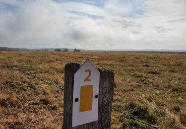
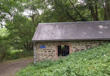
 - Photo 1")
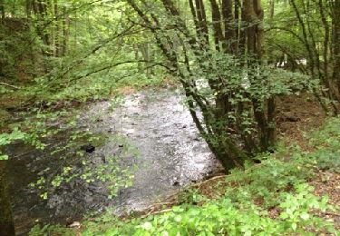
 - Photo 2")
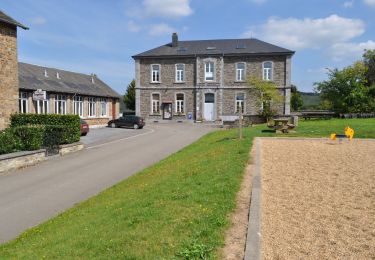
 - Photo 3")
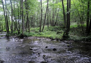
 - Photo 4")
 - Photo 5")
 - Photo 6")

Walking
On foot
Walking

Walking
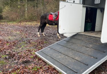
Horseback riding
Walking
Walking
Walking
On foot