


refuge periere

Tof Tof
User
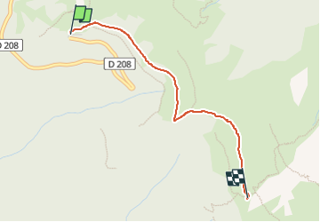

Length
2.5 km

Max alt
1884 m

Uphill gradient
181 m
Km-Effort
4.4 km

Min alt
1699 m

Downhill gradient
46 m
Boucle
No
Creation date :
2022-05-13 16:53:18.741
Updated on :
2022-05-13 17:29:43.348
36m
Difficulty : Easy

FREE GPS app for hiking
 SityTrail
IGN / Geographical institutes
SityTrail Plus
The world is yours!
About
Trail Walking of 2.5 km to be discovered at Auvergne-Rhône-Alpes, Savoy, Arvillard. This trail is proposed by Tof Tof.
Positioning
Country:
France
Region :
Auvergne-Rhône-Alpes
Department/Province :
Savoy
Municipality :
Arvillard
Location:
Unknown
Start:(Dec)
Start:(UTM)
278444 ; 5033365 (32T) N.
Comments