


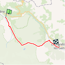

9.1 km | 25 km-effort


User GUIDE


FREE GPS app for hiking
 SityTrail
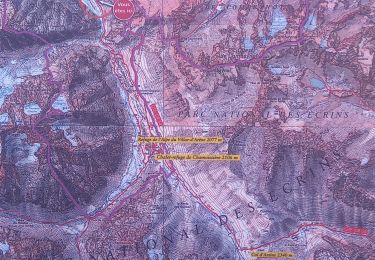
IGN / Geographical institutes
SityTrail World
The world is yours!
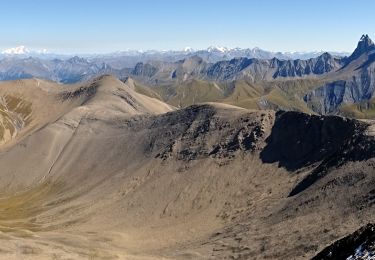
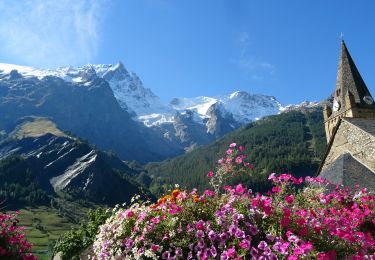
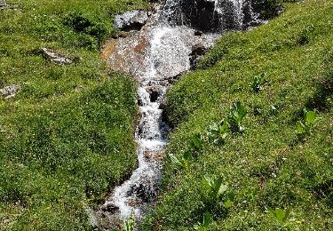
Trail Walking of 17.9 km to be discovered at Provence-Alpes-Côte d'Azur, Hautes-Alpes, Villar-d'Arêne. This trail is proposed by randotines.
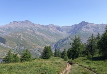
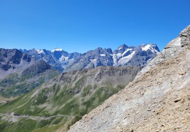
Notre plus belle journée avec très beau temps, belle montée progressive jusqu'au col d'Arsine, des vues à couper le souffle sur le glacier de la Meije, un succession de petits lacs, bref, le bonheur !

Walking
Walking
Walking
Walking

Walking
Walking
Walking
Walking
Walking