


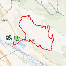

10.7 km | 13.4 km-effort


User


FREE GPS app for hiking
 SityTrail
IGN / Geographical institutes
SityTrail World
The world is yours!
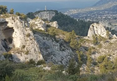
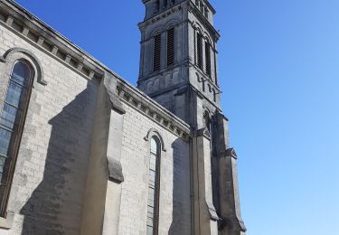
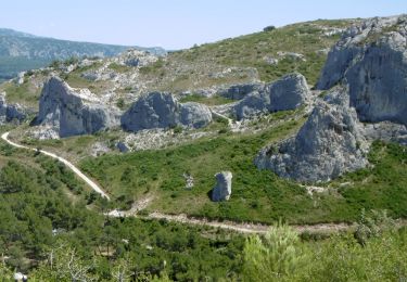
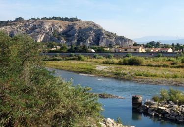
Trail Mountain bike of 22 km to be discovered at Provence-Alpes-Côte d'Azur, Vaucluse, Cheval-Blanc. This trail is proposed by nikos2904.
Superbe boucle pour qui aime les bonnes montées et descente empierrées
Walking

Walking

Mountain bike
Mountain bike
Walking
Walking
On foot

Other activity
Walking
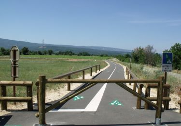
agréable et roulant
Indispensable pour ceux qui aiment toutes les activités pleines natures. Utilisé en rando et vtt jamais déçus !