


lacs vert forlet

jcschubnel
User
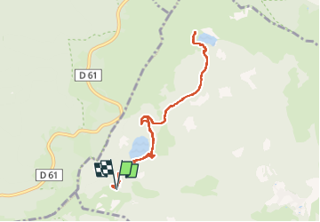

Length
8.2 km

Max alt
1181 m

Uphill gradient
275 m
Km-Effort
11.8 km

Min alt
1049 m

Downhill gradient
272 m
Boucle
Yes
Creation date :
2022-05-17 11:40:10.821
Updated on :
2022-05-17 16:20:47.586
3h24
Difficulty : Medium

FREE GPS app for hiking
 SityTrail
IGN / Geographical institutes
SityTrail Plus
The world is yours!
About
Trail Walking of 8.2 km to be discovered at Grand Est, Haut-Rhin, Soultzeren. This trail is proposed by jcschubnel.
Positioning
Country:
France
Region :
Grand Est
Department/Province :
Haut-Rhin
Municipality :
Soultzeren
Location:
Unknown
Start:(Dec)
Start:(UTM)
355506 ; 5327384 (32U) N.
Comments