


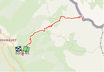

19.5 km | 40 km-effort

User


FREE GPS app for hiking
 SityTrail
IGN / Geographical institutes
SityTrail World
The world is yours!
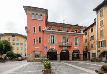
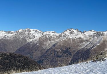
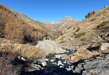
Trail Walking of 10.6 km to be discovered at Provence-Alpes-Côte d'Azur, Maritime Alps, Saint-Étienne-de-Tinée. This trail is proposed by bozo1970.
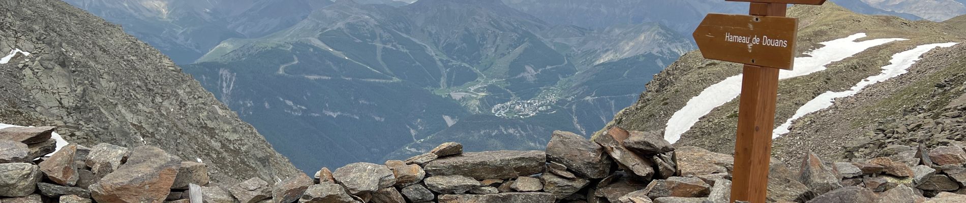
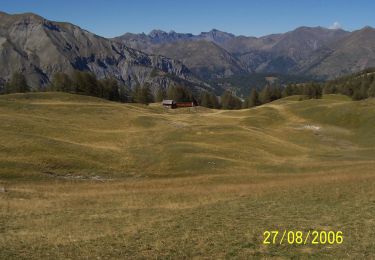
Montée par Douans
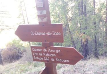
Départ du parking balise 98—125—105C
Derniers mètres avec les mains
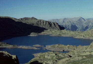
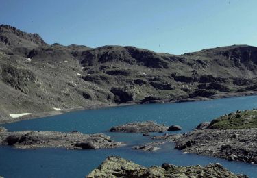
Pas de Barbacane balise 126 en 3h16’
D 1267m et 5,3km
Altitude 2587m


Walking

Walking
On foot
On foot
On foot
On foot
On foot
Snowshoes
Walking