


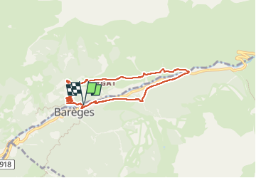

16.2 km | 31 km-effort

User GUIDE


FREE GPS app for hiking
 SityTrail
IGN / Geographical institutes
SityTrail World
The world is yours!
Trail Walking of 7.2 km to be discovered at Occitania, Hautespyrenees, Barèges. This trail is proposed by marmotte65.
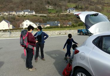
Vue la longueur de la rando un départ à 10h30 sera suffisant
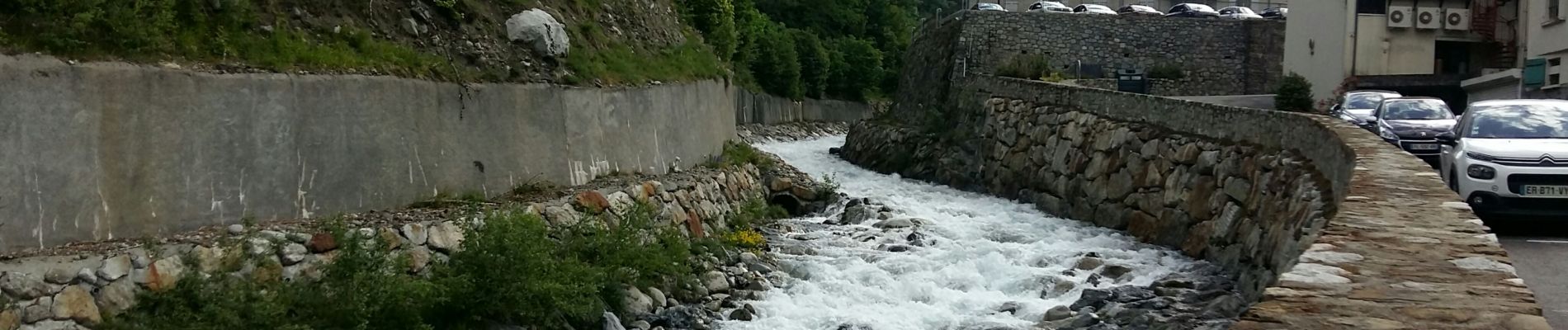
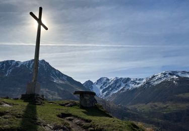
Le PN est prévu sur un terrain Pla apres les chalets du centre de vacances du hameau Rollot vers 13h. a coté de la cascade du ruisseau de la glère.
Donc départ de Ger et de Ousse à 9h


Walking

Walking

Walking

On foot

Walking
On foot
Walking

Walking
Walking