


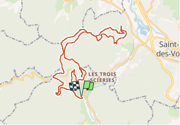

14.7 km | 22 km-effort

User


FREE GPS app for hiking
 SityTrail
IGN / Geographical institutes
SityTrail World
The world is yours!
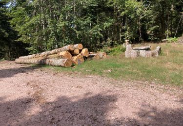
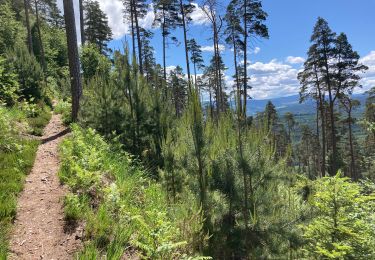
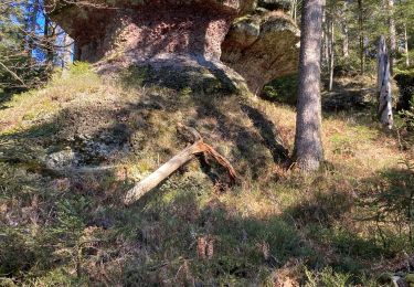
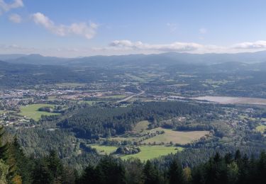
Trail Walking of 23 km to be discovered at Grand Est, Vosges, Taintrux. This trail is proposed by 1957.
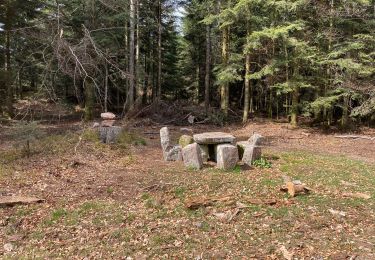
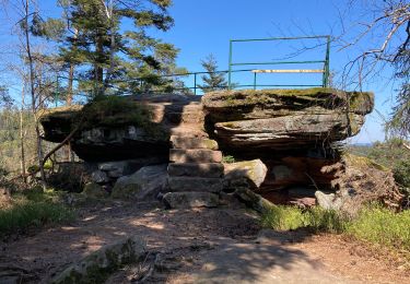
Haut Jacques - Solitude - Chaises du Roi -Bihai - Biches -Grande Roche


Walking
On foot
Walking
Walking
Walking
Walking
Walking
Walking
Walking