


Esparron Lac des Monges

Clo0413
User

Length
11.8 km

Max alt
1609 m

Uphill gradient
645 m
Km-Effort
20 km

Min alt
1114 m

Downhill gradient
645 m
Boucle
Yes
Creation date :
2022-06-14 11:59:36.961
Updated on :
2022-06-14 12:00:15.085
4h37
Difficulty : Medium

FREE GPS app for hiking
 SityTrail
IGN / Geographical institutes
SityTrail Plus
The world is yours!
About
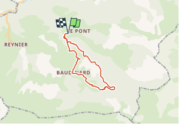
Trail Walking of 11.8 km to be discovered at Provence-Alpes-Côte d'Azur, Alpes-de-Haute-Provence, Bayons. This trail is proposed by Clo0413.
Positioning
Country:
France
Region :
Provence-Alpes-Côte d'Azur
Department/Province :
Alpes-de-Haute-Provence
Municipality :
Bayons
Location:
Esparron-la-Bâtie
Start:(Dec)
Start:(UTM)
272750 ; 4910131 (32T) N.
Comments