


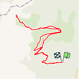


6.1 km | 8.5 km-effort

Les Hautes Alpes à découvrir ! GUIDE+


FREE GPS app for hiking
 SityTrail
IGN / Geographical institutes
SityTrail World
The world is yours!
Trail Walking of 14 km to be discovered at Auvergne-Rhône-Alpes, Isère, Pellafol. This trail is proposed by Camping Les Rives du Lac.
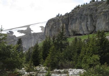
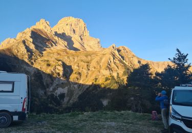
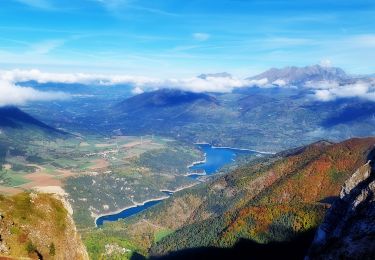
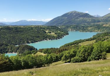
Splendide randonnée qui vous amènera sous les falaises majestueuses de l'Obiou.
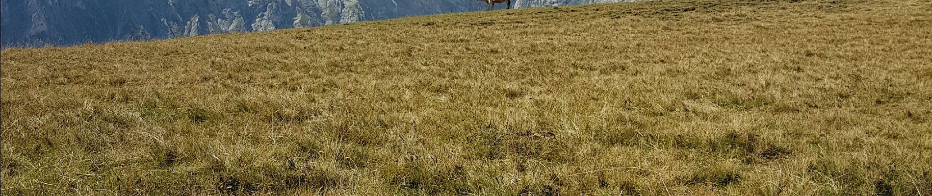
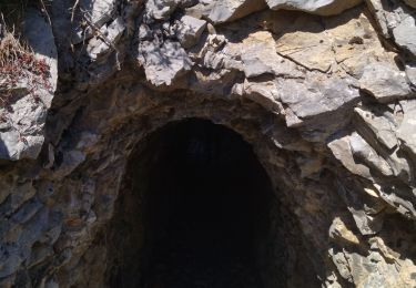
Les 400 premiers mètres de dénivelé se font à l'ombre en forêt. Vous sortez ensuite sur un alpage où vous devriez voir de nombreuses marmottes. Vous rejoignez ensuite le sentier allant à l'Obiou qui part plein Ouest sur la crête. Aucun passage dangereux.
Le petit sommet du Bénitier offre une très belle vue sur les différents massifs.


Walking

Walking
Walking

Walking
Walking
Walking
Walking
Walking
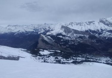
Touring skiing