Trail Walking Saint-Étienne-de-Tinée - Réel Roya Col de Crousette Stèle Valette Petit Mounier et Mounier  - Photo

Réel Roya Col de Crousette Stèle Valette Petit Mounier et Mounier

 jouans
jouans

User

© OpenStreetMap contributors
Length
Length
22 km
Max alt
Max alt
2791 m
Uphill gradient
Uphill gradient
1494 m
Km-Effort
Km-Effort  
42 km
Min alt
Min alt
1468 m
Downhill gradient
Downhill gradient
1492 m
Boucle
Boucle
Yes
Creation date :
2022-06-16 06:26:06.0
Updated on :
2022-06-19 13:34:01.395

(0 Reviews)

Walking
Walking
6h31
Difficulty : Very difficult

Scan this QR Code to open this trail in the SityTrail application

FREE GPS app for hiking

Logo SityTrail SityTrail

IGN / Geographical institutes

Download SityTrail from the App Store Download SityTrail from Google Play

Logo SityTrail SityTrail World

The world is yours!

Download SityTrail from the App Store Download SityTrail from Google Play Download SityTrail on Huawei AppGallery

About

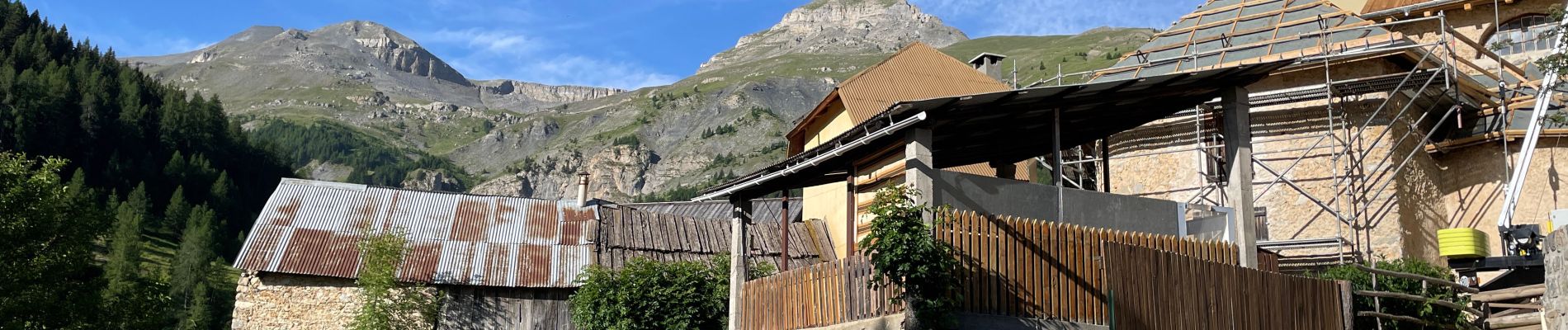
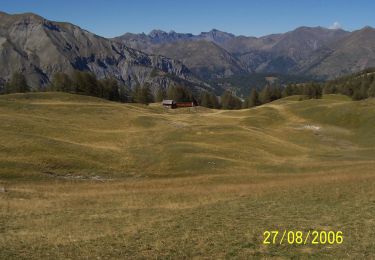
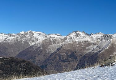
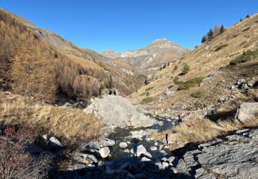
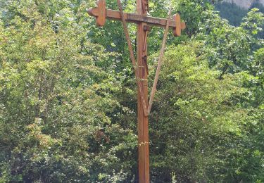
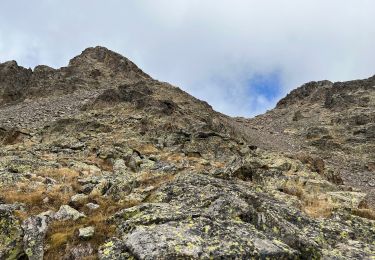
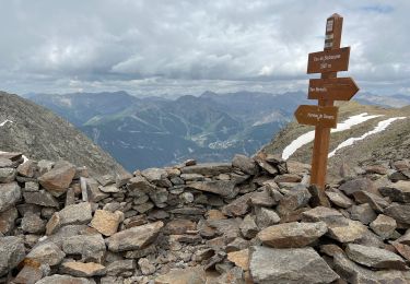
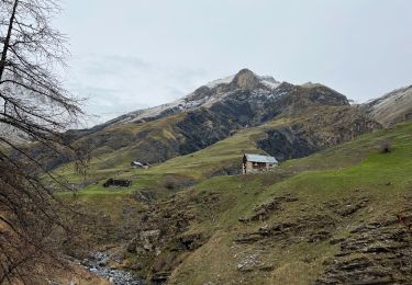
Trail Walking of 22 km to be discovered at Provence-Alpes-Côte d'Azur, Maritime Alps, Saint-Étienne-de-Tinée. This trail is proposed by jouans.

Description

Départ Gite de Roya Cabane de Sallevieille Col de Crousette Stèle Valette Petit Mounier et sommet Mounier AR

Elevation profile

Photos

Positioning

Country:
France
Region :
Provence-Alpes-Côte d'Azur
Department/Province :
Maritime Alps
Municipality :
Saint-Étienne-de-Tinée
Location:
Unknown
Start:(UTM)
334505 ; 4894971 (32T) N.

Trails nearby

Trail On foot Saint-Étienne-de-Tinée - Cime de la Bercha - Photo
On foot
PRO

On foot

Easy
Saint-Étienne-de-Tinée, Provence-Alpes-Côte d'Azur, Maritime Alps, France
9.3 km | 18.1 km-effort
4h 7min
Yes
Trail Snowshoes Saint-Étienne-de-Tinée - Cabane Vieille - Photo
Snowshoes
bozo1970

Snowshoes

Difficult
Saint-Étienne-de-Tinée, Provence-Alpes-Côte d'Azur, Maritime Alps, France
8.5 km | 18.9 km-effort
4h 16min
Yes
Trail Walking Saint-Étienne-de-Tinée - Le Mounier  - Photo
Walking
bozo1970

Walking

Very difficult
Saint-Étienne-de-Tinée, Provence-Alpes-Côte d'Azur, Maritime Alps, France
16 km | 34 km-effort
7h 16min
Yes
Trail Walking Saint-Étienne-de-Tinée - Le Corborant - Photo
Walking
bozo1970

Walking

Very difficult
Saint-Étienne-de-Tinée, Provence-Alpes-Côte d'Azur, Maritime Alps, France
9.8 km | 26 km-effort
5h 52min
No
Trail Walking Saint-Étienne-de-Tinée - De Roya au Col de Blainon, baisse herisson - Photo
Walking
GrouGary

Walking

Medium
Saint-Étienne-de-Tinée, Provence-Alpes-Côte d'Azur, Maritime Alps, France
10.4 km | 19.1 km-effort
4h 4min
Yes
Trail Walking Saint-Étienne-de-Tinée - Pas du Corborant - Photo
Walking
bozo1970

Walking

Very difficult
Saint-Étienne-de-Tinée, Provence-Alpes-Côte d'Azur, Maritime Alps, France
17 km | 37 km-effort
8h 15min
Yes
Trail Walking Saint-Étienne-de-Tinée - Pas de Barbacane 2 - Photo
Walking
bozo1970

Walking

Very difficult
Saint-Étienne-de-Tinée, Provence-Alpes-Côte d'Azur, Maritime Alps, France
10.6 km | 27 km-effort
6h 14min
Yes
Trail Walking Saint-Étienne-de-Tinée - Baisse de Barel  - Photo
Walking
bozo1970

Walking

Difficult
Saint-Étienne-de-Tinée, Provence-Alpes-Côte d'Azur, Maritime Alps, France
13.7 km | 25 km-effort
4h 54min
Yes
Trail Walking Saint-Étienne-de-Tinée - Pas de Barbacane hiver - Photo
Walking
bozo1970

Walking

Difficult
Saint-Étienne-de-Tinée, Provence-Alpes-Côte d'Azur, Maritime Alps, France
8 km | 21 km-effort
4h 19min
Yes


Close
My subscriptions