


Col petite Cayolle-21-06-22

Christiancordin
User
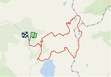

Length
11.8 km

Max alt
2675 m

Uphill gradient
626 m
Km-Effort
20 km

Min alt
2109 m

Downhill gradient
625 m
Boucle
Yes
Creation date :
2022-06-21 07:22:17.823
Updated on :
2022-06-25 16:13:17.677
3h42
Difficulty : Medium

FREE GPS app for hiking
 SityTrail
IGN / Geographical institutes
SityTrail Plus
The world is yours!
About
Trail Walking of 11.8 km to be discovered at Provence-Alpes-Côte d'Azur, Alpes-de-Haute-Provence, Allos. This trail is proposed by Christiancordin.
Description
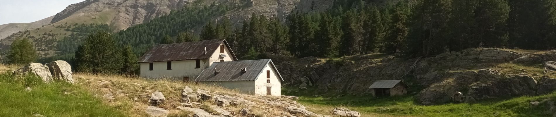
Départ PK maison forestière du Laus-lac de la petite Cayolle-col de la petite Cayolle-lac des Garrets-plateau du Lausson-Notre Dame des Monts-refuge du lac d'Allos.
Photos


Positioning
Country:
France
Region :
Provence-Alpes-Côte d'Azur
Department/Province :
Alpes-de-Haute-Provence
Municipality :
Allos
Location:
Unknown
Start:(Dec)
Start:(UTM)
316178 ; 4901643 (32T) N.
Comments