


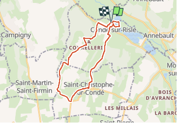

11.3 km | 13.4 km-effort


User


FREE GPS app for hiking
 SityTrail
IGN / Geographical institutes
SityTrail World
The world is yours!
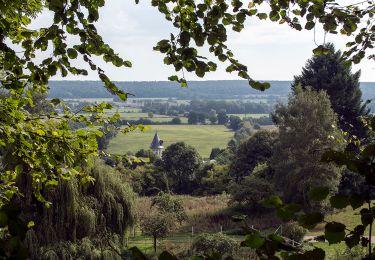
Trail Walking of 14 km to be discovered at Normandy, Eure, Condé-sur-Risle. This trail is proposed by MichelRando7656.
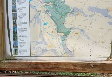
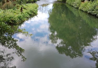
Parcours avec de beaux sentiers.
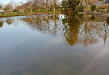
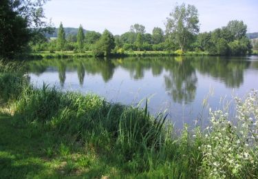
Le passage autour du lac permet de faire un pique-nique sur les tables devant le lac.
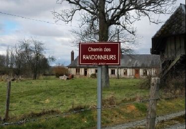
St Christophe sur Condé est un petit village sans commerçant , avec un lavoir, une roue de pressoir et un distributeur de pains frais.
Quelques petites routes avec de belles maisons.


Walking
Walking
Walking
Walking

Walking

Walking
Walking
Mountain bike