


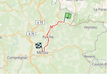


15.4 km | 24 km-effort

User


FREE GPS app for hiking
 SityTrail
IGN / Geographical institutes
SityTrail World
The world is yours!
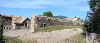
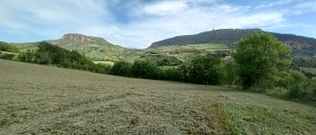
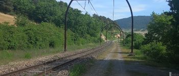
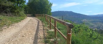
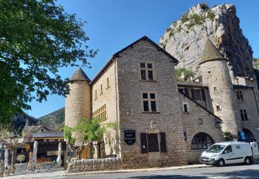
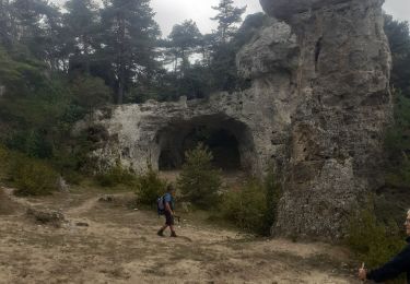
Trail Walking of 22 km to be discovered at Occitania, Aveyron, Mostuéjouls. This trail is proposed by canardDenis.
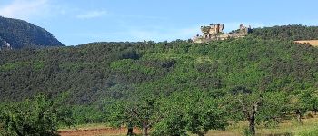
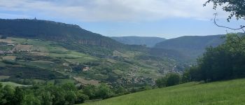
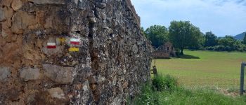
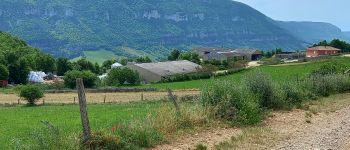
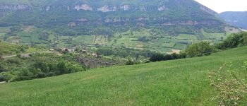
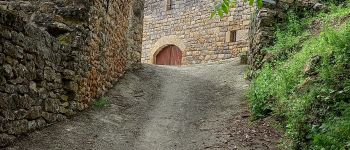
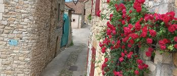
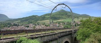
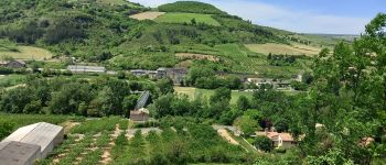
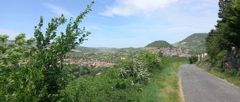
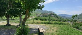
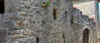
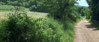
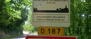
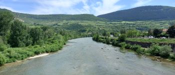
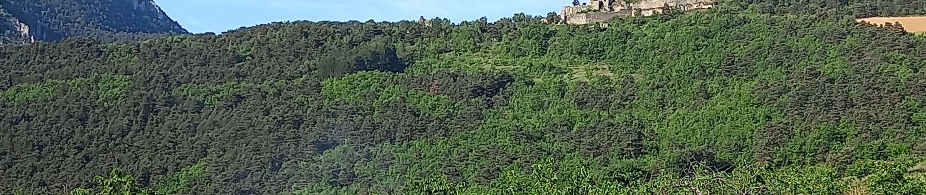
Pour cette septième étape, on s'écarte des circuits plus fréquentés. De la Calquière-Mostuéjouls, visitez la forteresse de Peyrelevade, Compeyre, Aiguessac, passez le Tarn à Paulhe et continuez par Carbassas jusqu'à Millau


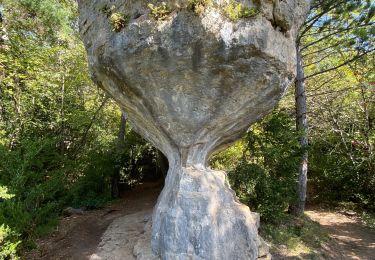
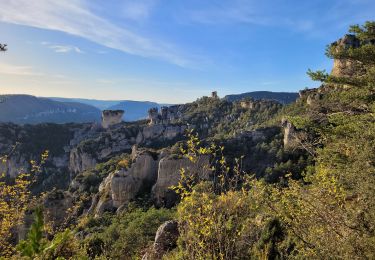
45 photos in total. Please click on a photo to see them all in the gallery.

Walking
Walking

Walking
Walking
Walking
Walking
Walking
Walking
Walking