


col d'Ibardin

duchaine.nicolas
User


Length
23 km

Max alt
461 m

Uphill gradient
771 m
Km-Effort
34 km

Min alt
8 m

Downhill gradient
772 m
Boucle
Yes
Creation date :
2022-06-28 10:21:14.496
Updated on :
2022-06-28 21:15:57.749
2h07
Difficulty : Medium
2h07
Difficulty : Medium

FREE GPS app for hiking
 SityTrail
IGN / Geographical institutes
SityTrail Plus
The world is yours!
About
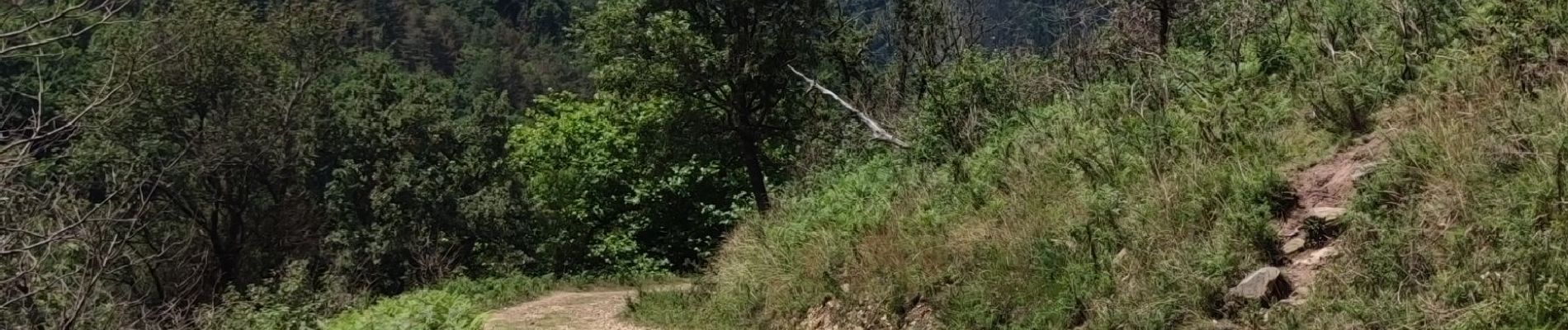
Trail Mountain bike of 23 km to be discovered at New Aquitaine, Pyrénées-Atlantiques, Urrugne. This trail is proposed by duchaine.nicolas.
Photos


Positioning
Country:
France
Region :
New Aquitaine
Department/Province :
Pyrénées-Atlantiques
Municipality :
Urrugne
Location:
Unknown
Start:(Dec)
Start:(UTM)
606096 ; 4799455 (30T) N.
Comments