Trail Walking Névache - lac de la clarée(source)- lac du Gand Ban - Photo

lac de la clarée(source)- lac du Gand Ban

 RayFab
RayFab

User

© OpenStreetMap contributors
Length
Length
14.7 km
Max alt
Max alt
2488 m
Uphill gradient
Uphill gradient
518 m
Km-Effort
Km-Effort  
22 km
Min alt
Min alt
2021 m
Downhill gradient
Downhill gradient
517 m
Boucle
Boucle
Yes
Creation date :
2022-06-30 06:48:44.173
Updated on :
2022-07-03 06:03:47.254

(0 Reviews)

Walking
Walking
4h17
Difficulty : Medium

Scan this QR Code to open this trail in the SityTrail application

FREE GPS app for hiking

Logo SityTrail SityTrail

IGN / Geographical institutes

Download SityTrail from the App Store Download SityTrail from Google Play

Logo SityTrail SityTrail World

The world is yours!

Download SityTrail from the App Store Download SityTrail from Google Play Download SityTrail on Huawei AppGallery

About

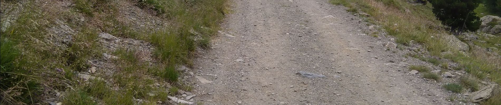
Trail Walking of 14.7 km to be discovered at Provence-Alpes-Côte d'Azur, Hautes-Alpes, Névache. This trail is proposed by RayFab.

Description

Se rendre à Laval puis monter par la gauche(plus long mais bien plus beau) jusqu'au refuge des Drayères (de nombreuses marmottes sur ce parcours) puis monter au lac de la clarée, poursuivre jusqu'au lac du Grand Ban, faire le tour et redescendre. Belle rando

Elevation profile

Photos

Positioning

Country:
France
Region :
Provence-Alpes-Côte d'Azur
Department/Province :
Hautes-Alpes
Municipality :
Névache
Location:
Unknown
Start:(UTM)
305215 ; 4992528 (32T) N.

Trails nearby

Trail Walking Névache - Briançonnais Lac du Serpent - Photo
Walking
Orcal37

Walking

Medium
(2)
Névache, Provence-Alpes-Côte d'Azur, Hautes-Alpes, France
10 km | 18 km-effort
3h 10min
Yes
Trail Walking Névache - Col du Chardonnet - Névache - Photo
Walking
tracegps

Walking

Medium
(3)
Névache, Provence-Alpes-Côte d'Azur, Hautes-Alpes, France
12.3 km | 23 km-effort
4h 0min
Yes
Trail Walking Le Monêtier-les-Bains - Le Grand Lac - Photo
Walking
tracegps

Walking

Difficult
(2)
Le Monêtier-les-Bains, Provence-Alpes-Côte d'Azur, Hautes-Alpes, France
5.2 km | 12.8 km-effort
5h 0min
No
Trail Walking Le Monêtier-les-Bains - l'aiguillette du Lauzet par le grand lac - Photo
Walking
GUIDE
amiral13

Walking

Difficult
Le Monêtier-les-Bains, Provence-Alpes-Côte d'Azur, Hautes-Alpes, France
13.8 km | 29 km-effort
8h 39min
Yes
Trail Via ferrata Le Monêtier-les-Bains - Via ferrata Aiguillette du Lauzet 30/06/18 - Photo
Via ferrata
GUIDE
R@ph

Via ferrata

Medium
Le Monêtier-les-Bains, Provence-Alpes-Côte d'Azur, Hautes-Alpes, France
9.5 km | 21 km-effort
2h 30min
Yes
Trail Walking Névache - la roche du Chardonnet - Photo
Walking
GUIDE
amiral13

Walking

Medium
Névache, Provence-Alpes-Côte d'Azur, Hautes-Alpes, France
16.6 km | 29 km-effort
7h 26min
Yes
Trail Walking Névache - Lacs Laramon et Serpent - Photo
Walking
neoroll44

Walking

Medium
(2)
Névache, Provence-Alpes-Côte d'Azur, Hautes-Alpes, France
10.4 km | 21 km-effort
6h 0min
Yes
Trail Walking Le Monêtier-les-Bains - Haut tour des Cerces - Photo
Walking
druilhe

Walking

Very difficult
(1)
Le Monêtier-les-Bains, Provence-Alpes-Côte d'Azur, Hautes-Alpes, France
42 km | 77 km-effort
15h 27min
Yes
Trail Walking Névache - lacs laramon, du serpent, des gardioles et pic du lac blanc - Photo
Walking
GUIDE
amiral13

Walking

Medium
(1)
Névache, Provence-Alpes-Côte d'Azur, Hautes-Alpes, France
15.8 km | 31 km-effort
7h 30min
Yes


Close
My subscriptions