


Les laurents

papajp
User

Length
1.9 km

Max alt
515 m

Uphill gradient
47 m
Km-Effort
2.4 km

Min alt
469 m

Downhill gradient
19 m
Boucle
No
Creation date :
2022-07-01 13:05:14.0
Updated on :
2022-07-01 14:11:15.216
49m
Difficulty : Unknown

FREE GPS app for hiking
 SityTrail
IGN / Geographical institutes
SityTrail Plus
The world is yours!
About
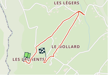
Trail Walking of 1.9 km to be discovered at Auvergne-Rhône-Alpes, Savoy, Montcel. This trail is proposed by papajp.
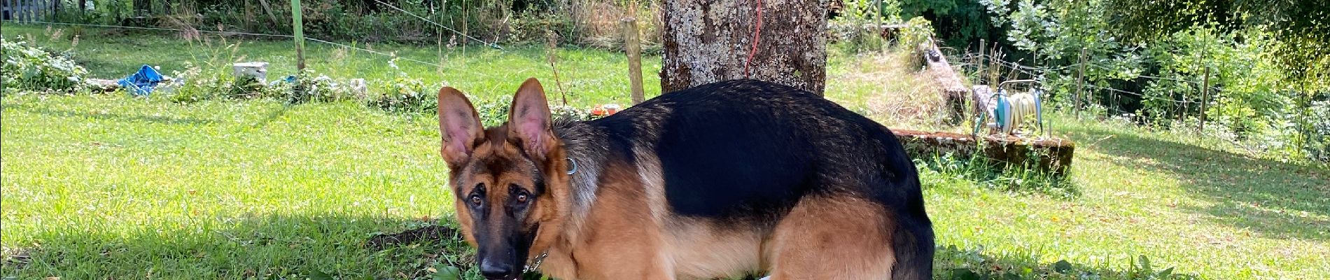
Photos

Positioning
Country:
France
Region :
Auvergne-Rhône-Alpes
Department/Province :
Savoy
Municipality :
Montcel
Location:
Unknown
Start:(Dec)
Start:(UTM)
730756 ; 5067866 (31T) N.
Comments