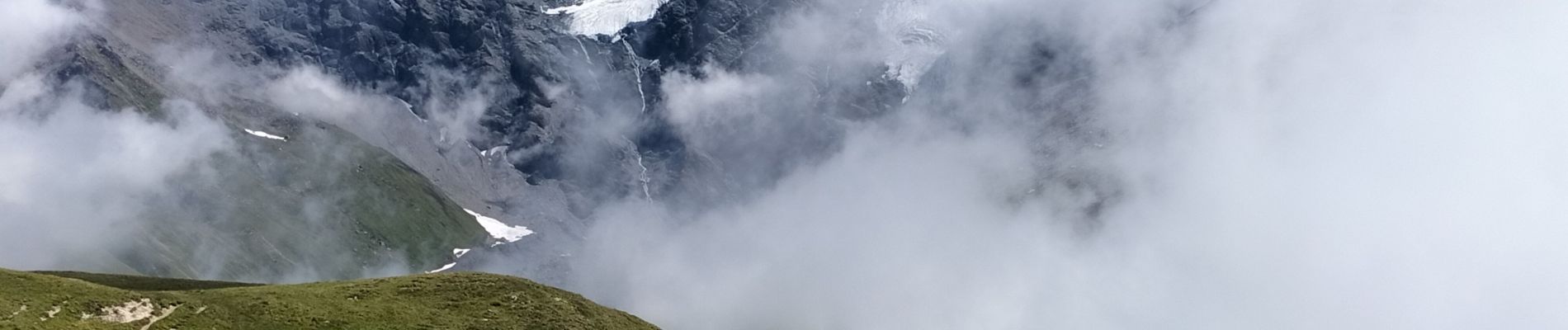
Col de l'aiguille par le lac du clou

reneperrin
User
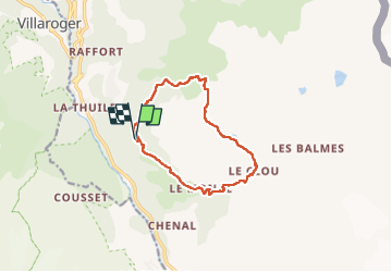

Length
11.9 km

Max alt
2551 m

Uphill gradient
839 m
Km-Effort
23 km

Min alt
1802 m

Downhill gradient
842 m
Boucle
Yes
Creation date :
2022-07-01 09:31:54.879
Updated on :
2022-07-01 15:16:48.207
4h49
Difficulty : Medium

FREE GPS app for hiking
 SityTrail
IGN / Geographical institutes
SityTrail Plus
The world is yours!
About
Trail Walking of 11.9 km to be discovered at Auvergne-Rhône-Alpes, Savoy, Sainte-Foy-Tarentaise. This trail is proposed by reneperrin.
Description
boucle
Photos


Positioning
Country:
France
Region :
Auvergne-Rhône-Alpes
Department/Province :
Savoy
Municipality :
Sainte-Foy-Tarentaise
Location:
Unknown
Start:(Dec)
Start:(UTM)
336272 ; 5047921 (32T) N.
Comments