Trail Walking Bourscheid - Escapardenne Lee Trail: Moulin de Bourscheid - Hoscheid - Photo

Escapardenne Lee Trail: Moulin de Bourscheid - Hoscheid

 dauzata
dauzata

User

© OpenStreetMap contributors
Length
Length
19.2 km
Max alt
Max alt
504 m
Uphill gradient
Uphill gradient
889 m
Km-Effort
Km-Effort  
30 km
Min alt
Min alt
218 m
Downhill gradient
Downhill gradient
628 m
Boucle
Boucle
No
Creation date :
2022-07-07 07:42:28.0
Updated on :
2022-07-25 14:39:17.333

(0 Reviews)

Walking
Walking
5h21
Difficulty : Difficult

Scan this QR Code to open this trail in the SityTrail application

FREE GPS app for hiking

Logo SityTrail SityTrail

IGN / Geographical institutes

Download SityTrail from the App Store Download SityTrail from Google Play

Logo SityTrail SityTrail World

The world is yours!

Download SityTrail from the App Store Download SityTrail from Google Play Download SityTrail on Huawei AppGallery

About

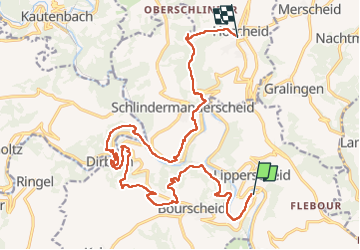
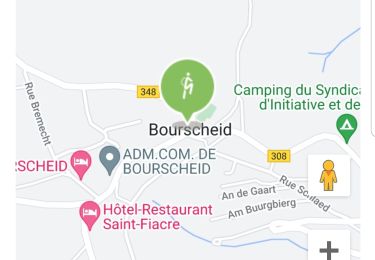
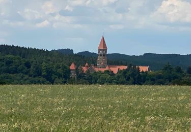
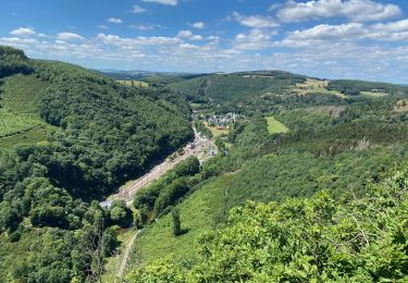
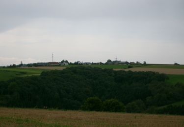
Trail Walking of 19.2 km to be discovered at Unknown, Canton Diekirch, Bourscheid. This trail is proposed by dauzata.

Description

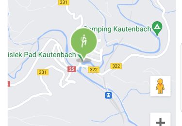
Départ: Moulin de Bourscheid.
Arrivée: Hoscheid, route principale (Haaptstross)

Possibilité de transfert vers Ettelbrück via bus 137 ou 170, arrêt "Hoscheid, Kreizgaass" ou "Hoscheid, Braaken" sur la rue principale.

Elevation profile

Photos

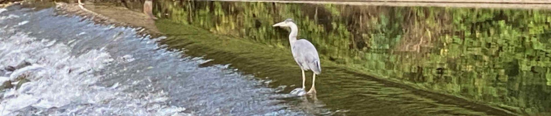
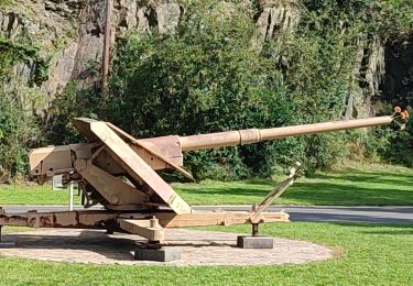
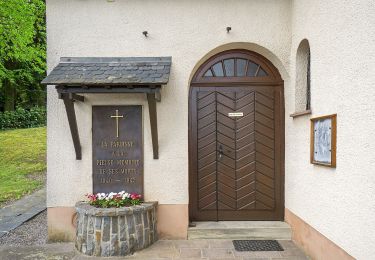
24 photos in total. Please click on a photo to see them all in the gallery.

Positioning

Country:
Luxembourg
Region :
Unknown
Department/Province :
Canton Diekirch
Municipality :
Bourscheid
Location:
Unknown
Start:(UTM)
290767 ; 5533049 (32U) N.

Trails nearby

Trail Walking Bourscheid - Autopedestres : Welscheid 1 - Photo
Walking
GUIDE+

Walking

Very easy
(1)
Bourscheid, Unknown, Canton Diekirch, Luxembourg
6.8 km | 9.8 km-effort
Unknown
Yes
Trail Walking Bourscheid - Autopedestres : Bourscheid - Photo
Walking
GUIDE+

Walking

Very easy
(2)
Bourscheid, Unknown, Canton Diekirch, Luxembourg
10.5 km | 15.3 km-effort
Unknown
Yes
Trail Walking Kiischpelt - eislek trail de Kautenbach à Troisvierges  - Photo
Walking
dragonchef

Walking

Difficult
Kiischpelt, Unknown, Canton Wiltz, Luxembourg
42 km | 61 km-effort
12h 30min
No
Trail Walking Kiischpelt - 2022-09-22_13h29m24_t62885235_eislek pad kautenbach (1) - Photo
Walking
GUIDE
mumu.larandonneuse

Walking

Medium
Kiischpelt, Unknown, Canton Wiltz, Luxembourg
14.4 km | 22 km-effort
4h 58min
Yes
Trail Walking Bourscheid - 2022-09-22_13h10m58_t62880921_eislek pad bourscheid - Photo
Walking
GUIDE
mumu.larandonneuse

Walking

Medium
Bourscheid, Unknown, Canton Diekirch, Luxembourg
14.8 km | 23 km-effort
5h 10min
Yes
Trail Walking Kiischpelt - Escapardenne Eisleck Trail: Kautenbach - Clervaux - Photo
Walking
dauzata

Walking

Difficult
Kiischpelt, Unknown, Canton Wiltz, Luxembourg
25 km | 38 km-effort
6h 21min
No
Trail Walking Parc Hosingen - Escapardenne Lee Trail: Hoscheid - Kautenbach - Photo
Walking
dauzata

Walking

Medium
Parc Hosingen, Unknown, Canton Clervaux, Luxembourg
15.5 km | 23 km-effort
4h 25min
No
Trail On foot Bourscheid - Autopedestre Schlindermanderscheid - Photo
On foot
PRO

On foot

Easy
Bourscheid, Unknown, Canton Diekirch, Luxembourg
7.5 km | 12 km-effort
2h 43min
Yes
Trail On foot Tandel - Autopedestre Brandenbourg - Photo
On foot
PRO

On foot

Easy
Tandel, Unknown, Canton Vianden, Luxembourg
6.4 km | 9 km-effort
2h 2min
Yes


Close
My subscriptions