


9.6 km | 17.9 km-effort

User


FREE GPS app for hiking
 SityTrail
IGN / Geographical institutes
SityTrail World
The world is yours!
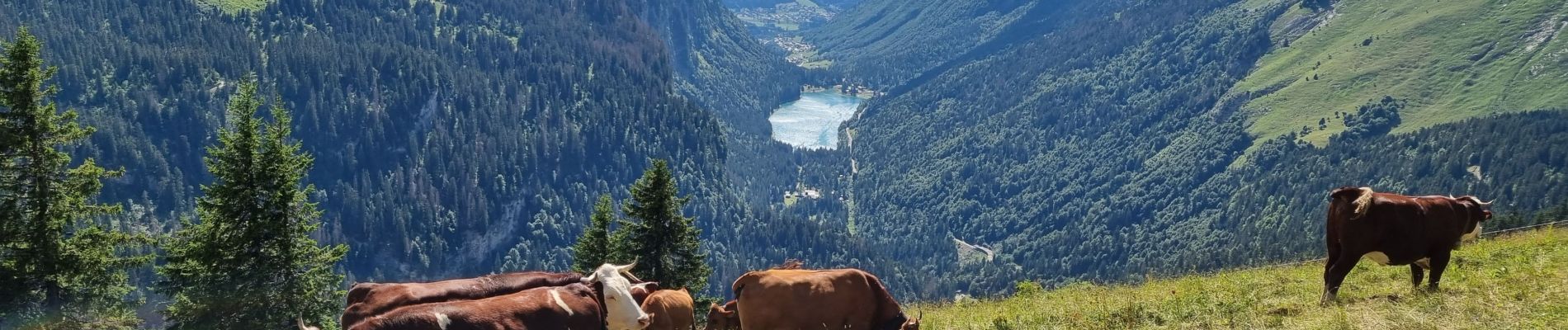
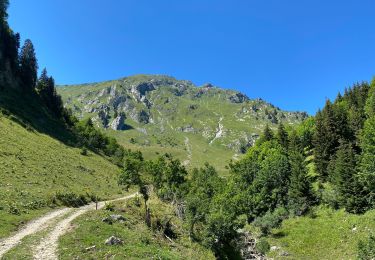
Trail Walking of 13.3 km to be discovered at Auvergne-Rhône-Alpes, Upper Savoy, Abondance. This trail is proposed by med88.
Assez facile dénivelé très progressif ferme d'alpage sur le retour sympa tarte aux myrtilles


Walking

Walking

Walking

Walking
On foot
Walking
Walking
Walking

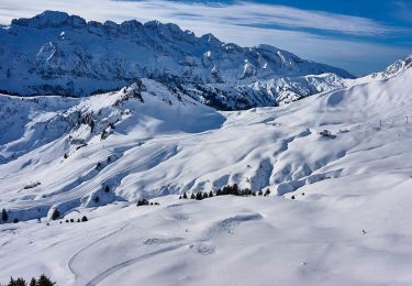
Snowshoes