


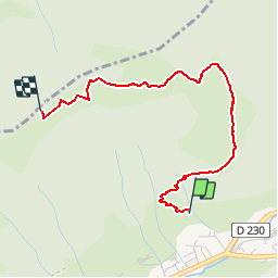


16.5 km | 30 km-effort

User GUIDE


FREE GPS app for hiking
 SityTrail
IGN / Geographical institutes
SityTrail World
The world is yours!
Trail Snowshoes of 3 km to be discovered at Auvergne-Rhône-Alpes, Upper Savoy, Châtel. This trail is proposed by pascalou73.
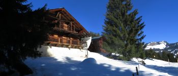
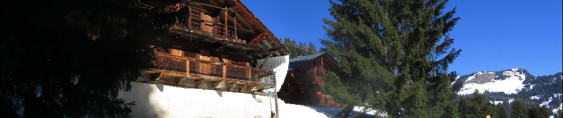
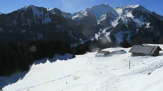
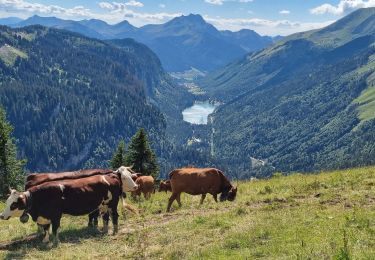
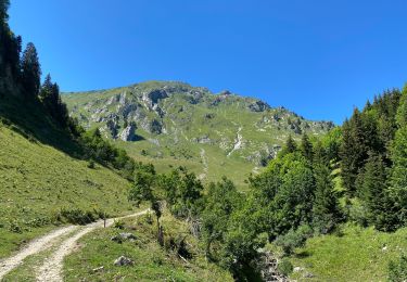
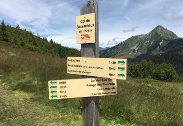
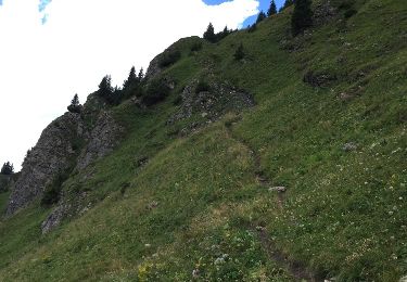
Une belle randonnée au départ de Villapeyron (Châtel) La randonnée dans une réserve de chasse du Mont de Grange ou avec un peu de patience vous pourriez apercevoir des chamoi. Le retour par le même chemin .Une randonnée avec des point de vue sur les dents du nidi .


Walking

Walking

Snowshoes

Snowshoes
Walking
Walking

Walking
Walking
Other activity