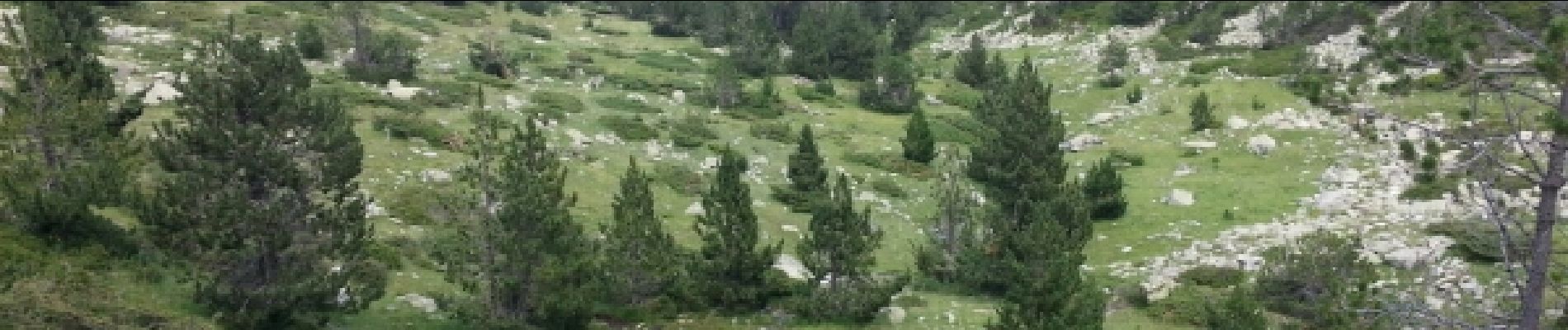
étang de Planès

fhascoet
User
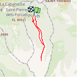

Length
10.8 km

Max alt
2200 m

Uphill gradient
665 m
Km-Effort
19.6 km

Min alt
1535 m

Downhill gradient
666 m
Boucle
No
Creation date :
2014-12-10 00:00:00.0
Updated on :
2014-12-10 00:00:00.0
3h54
Difficulty : Medium

FREE GPS app for hiking
 SityTrail
IGN / Geographical institutes
SityTrail Plus
The world is yours!
About
Trail Walking of 10.8 km to be discovered at Occitania, Pyrénées-Orientales, Planès. This trail is proposed by fhascoet.
Description
montée raide en foret.Aller retour vers l'étang facile et joli. retour agréable en foret
Photos


Positioning
Country:
France
Region :
Occitania
Department/Province :
Pyrénées-Orientales
Municipality :
Planès
Location:
Unknown
Start:(Dec)
Start:(UTM)
429200 ; 4704628 (31T) N.
Comments