


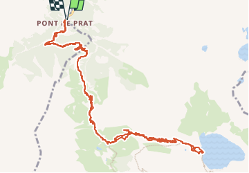

13 km | 22 km-effort


User


FREE GPS app for hiking
 SityTrail
IGN / Geographical institutes
SityTrail World
The world is yours!
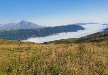
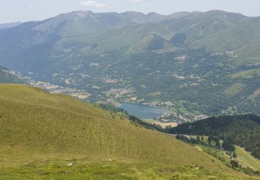
Trail Walking of 18 km to be discovered at Occitania, Hautespyrenees, Loudenvielle. This trail is proposed by doume82.
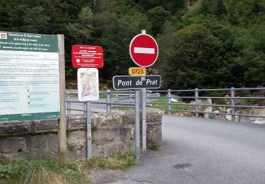
Départ du Pont de Prat / centrale électrique de Tramezaigues (Loudenvielle)
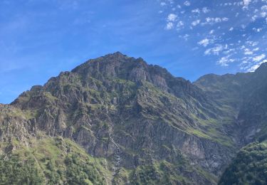
A partir de la vierge de Santette, sentier en corniche au dessus des gorges, câbles superflus (sentier large) ...
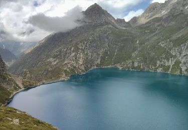
Du refuge de la Soula, grimpée au lac de Caillauas par de larges lacets.

Walking

Walking

Walking
Walking
Walking
Walking

Walking
Walking
Walking