


Valmeinier - les grands lacs

laurentnecca
User
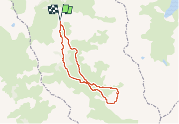

Length
15.3 km

Max alt
2513 m

Uphill gradient
804 m
Km-Effort
26 km

Min alt
1748 m

Downhill gradient
803 m
Boucle
Yes
Creation date :
2022-07-15 06:00:25.135
Updated on :
2022-07-15 17:19:16.48
8h28
Difficulty : Difficult

FREE GPS app for hiking
 SityTrail
IGN / Geographical institutes
SityTrail Plus
The world is yours!
About
Trail Walking of 15.3 km to be discovered at Auvergne-Rhône-Alpes, Savoy, Valmeinier. This trail is proposed by laurentnecca.
Positioning
Country:
France
Region :
Auvergne-Rhône-Alpes
Department/Province :
Savoy
Municipality :
Valmeinier
Location:
Unknown
Start:(Dec)
Start:(UTM)
303079 ; 5003985 (32T) N.
Comments