


14.6 km | 17.2 km-effort

User


FREE GPS app for hiking
 SityTrail
IGN / Geographical institutes
SityTrail World
The world is yours!
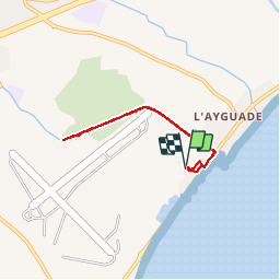
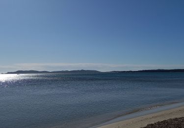
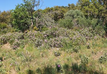
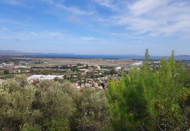
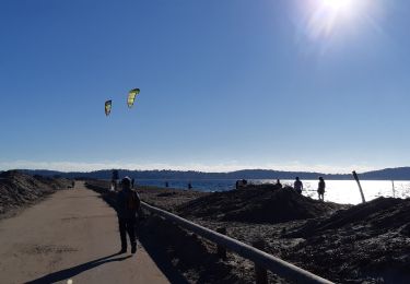
Trail Walking of 5.7 km to be discovered at Provence-Alpes-Côte d'Azur, Var, Hyères. This trail is proposed by pechStephane.
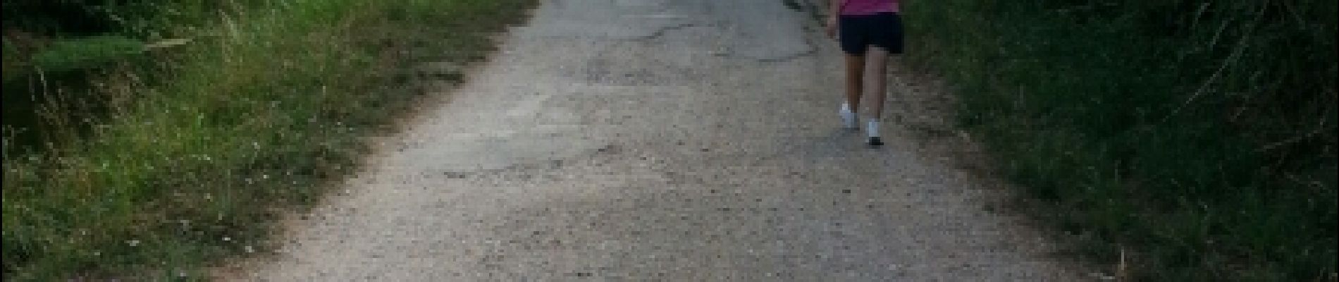
petite marche simpas le long du canal

Walking

Walking
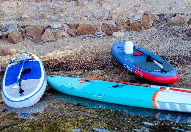
Canoe - kayak
Walking
Road bike
Walking

Walking

Mountain bike
Other activity