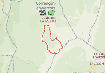
la balme tête des chaudières par la combe de fer,

marcagif
User

Length
10.7 km

Max alt
2018 m

Uphill gradient
863 m
Km-Effort
22 km

Min alt
1236 m

Downhill gradient
865 m
Boucle
Yes
Creation date :
2022-07-17 09:10:27.74
Updated on :
2022-07-17 14:44:44.388
5h32
Difficulty : Medium

FREE GPS app for hiking
 SityTrail
IGN / Geographical institutes
SityTrail Plus
The world is yours!
About
Trail Walking of 10.7 km to be discovered at Auvergne-Rhône-Alpes, Isère, Corrençon-en-Vercors. This trail is proposed by marcagif.
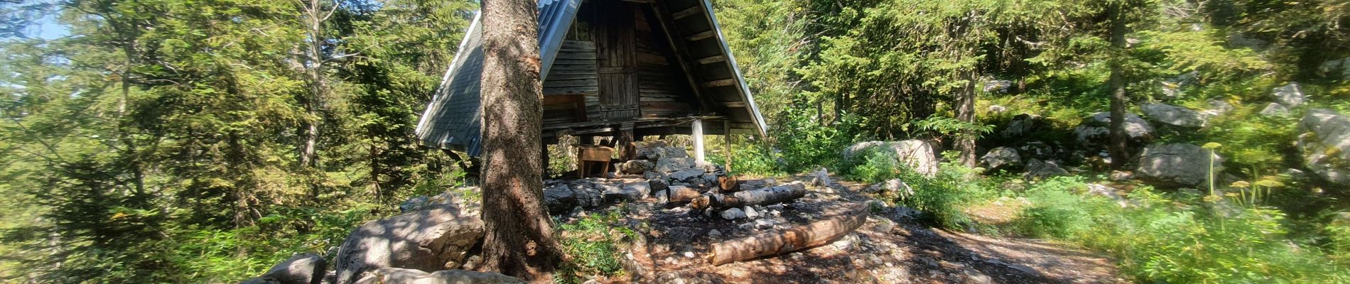
Photos


Positioning
Country:
France
Region :
Auvergne-Rhône-Alpes
Department/Province :
Isère
Municipality :
Corrençon-en-Vercors
Location:
Unknown
Start:(Dec)
Start:(UTM)
699281 ; 4988314 (31T) N.
Comments