


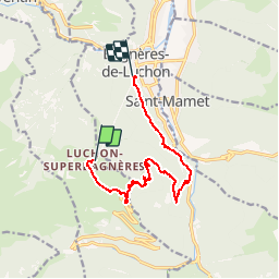

7.1 km | 12.5 km-effort

User


FREE GPS app for hiking
 SityTrail
IGN / Geographical institutes
SityTrail World
The world is yours!
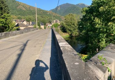
Trail Mountain bike of 11 km to be discovered at Occitania, Haute-Garonne, Saint-Aventin. This trail is proposed by tracegps.
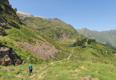
Nouveau tracé de la Kbour (provisoire) après les dégâts du mois de juin 2013; le balisage a été bien refait et l'itinéraire modifié. J'ai ajouté en bas un retour en forêt avec 100m de remontées et quelques poussages pour arriver juste au départ des œufs sans passer par du goudron, qui plus est un jour de fête des fleurs... N'étant pas adepte du VTT de descente mais de montagne, je ne peux juger du niveau mais quelques passages se font à pied.


Snowshoes

Walking
On foot

Walking

Walking
Walking
Walking
Walking
On foot
belle piste, très raide et technique, j'ai roulé sur le mouillé et a eu quelques moments de panique dans la section du milieu, au sec ce serait tres difficile, mieux d'éviter sous la pluie