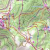
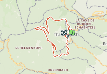
Taennchel par Thannenkirch

Mich&Agnès
User

Length
15.5 km

Max alt
958 m

Uphill gradient
595 m
Km-Effort
23 km

Min alt
460 m

Downhill gradient
595 m
Boucle
Yes
Creation date :
2022-07-23 19:32:27.891
Updated on :
2022-09-18 09:04:52.307
5h19
Difficulty : Medium

FREE GPS app for hiking
 SityTrail
IGN / Geographical institutes
SityTrail Plus
The world is yours!
About
Trail Walking of 15.5 km to be discovered at Grand Est, Haut-Rhin, Thannenkirch. This trail is proposed by Mich&Agnès.
Positioning
Country:
France
Region :
Grand Est
Department/Province :
Haut-Rhin
Municipality :
Thannenkirch
Location:
Unknown
Start:(Dec)
Start:(UTM)
374143 ; 5343100 (32U) N.
Comments