


rdpr G3 le bonhomme 230905

stempfel52
User GUIDE
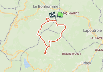

Length
11.6 km

Max alt
1133 m

Uphill gradient
364 m
Km-Effort
16.5 km

Min alt
933 m

Downhill gradient
374 m
Boucle
Yes
Creation date :
2022-07-26 07:59:59.947
Updated on :
2023-09-01 10:46:17.749
4h12
Difficulty : Difficult

FREE GPS app for hiking
 SityTrail
IGN / Geographical institutes
SityTrail Plus
The world is yours!
About
Trail Walking of 11.6 km to be discovered at Grand Est, Haut-Rhin, Lapoutroie. This trail is proposed by stempfel52.
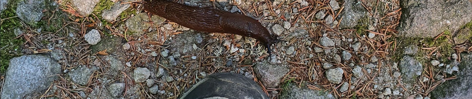
Photos


Positioning
Country:
France
Region :
Grand Est
Department/Province :
Haut-Rhin
Municipality :
Lapoutroie
Location:
Unknown
Start:(Dec)
Start:(UTM)
360716 ; 5335847 (32U) N.
Comments