


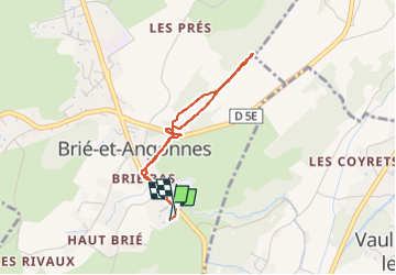

5.9 km | 7.8 km-effort

User


FREE GPS app for hiking
 SityTrail
IGN / Geographical institutes
SityTrail World
The world is yours!
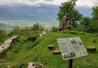
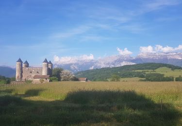
Trail Walking of 3.1 km to be discovered at Auvergne-Rhône-Alpes, Isère, Brié-et-Angonnes. This trail is proposed by crocau.
Petite balade pour profiter des bois.


On foot

On foot
On foot

Running
Walking
Nordic walking
Walking
Walking
Nordic walking