


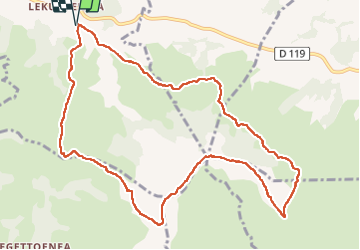

14.6 km | 27 km-effort


User


FREE GPS app for hiking
 SityTrail
IGN / Geographical institutes
SityTrail World
The world is yours!
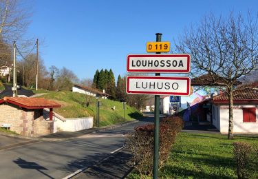
Trail Walking of 12.4 km to be discovered at New Aquitaine, Pyrénées-Atlantiques, Macaye. This trail is proposed by jaja64.
Boucle


Walking
Walking
Walking
Walking
Walking
Walking
Walking
Other activity

Walking