


tanet

duchaine.nicolas
User
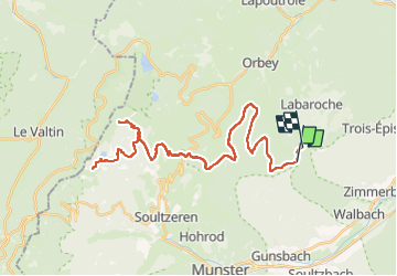

Length
46 km

Max alt
1084 m

Uphill gradient
1082 m
Km-Effort
61 km

Min alt
760 m

Downhill gradient
1125 m
Boucle
No
Creation date :
2022-07-31 10:44:04.504
Updated on :
2022-07-31 15:17:34.414
4h09
Difficulty : Easy
4h09
Difficulty : Easy

FREE GPS app for hiking
 SityTrail
IGN / Geographical institutes
SityTrail Plus
The world is yours!
About
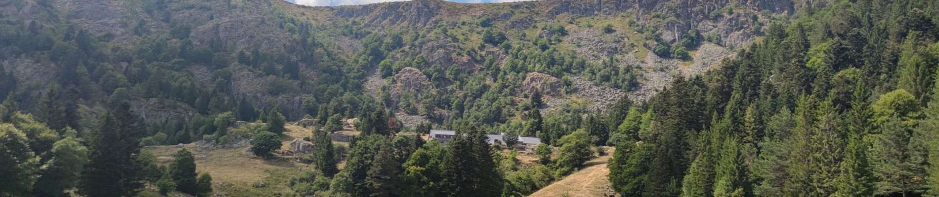
Trail Mountain bike of 46 km to be discovered at Grand Est, Haut-Rhin, Labaroche. This trail is proposed by duchaine.nicolas.
Photos


Positioning
Country:
France
Region :
Grand Est
Department/Province :
Haut-Rhin
Municipality :
Labaroche
Location:
Unknown
Start:(Dec)
Start:(UTM)
364855 ; 5327469 (32U) N.
Comments