


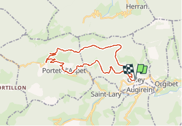


46 km | 67 km-effort


User


FREE GPS app for hiking
 SityTrail
IGN / Geographical institutes
SityTrail World
The world is yours!
Trail Mountain bike of 17 km to be discovered at Occitania, Ariège, Galey. This trail is proposed by Yonl.
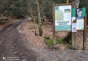
Boucle en partant de Galey vers Escarchein puis Portet d'Aspet.
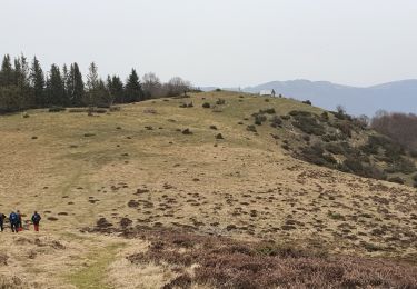
Montée du col puis on continue (à monter!) sur la route forestière pour enfin redescendre vers Galey (attention, c'est une vrai descente avec de l'ardoise cassante, il vaut mieux avoir de très bons freins...).
Pas de difficulté technique particulière si ce n'est la descente depuis la route forestière, mais elle peut se faire lentement si besoin.
Walking
Walking
Walking
Walking
Walking
Walking

Mountain bike

Walking
Walking