


02-08-22 route de la soif

annefrance70
User


Length
14.7 km

Max alt
1758 m

Uphill gradient
522 m
Km-Effort
21 km

Min alt
1479 m

Downhill gradient
428 m
Boucle
No
Creation date :
2022-08-02 14:25:27.229
Updated on :
2022-08-02 15:32:36.703
1h06
Difficulty : Easy

FREE GPS app for hiking
 SityTrail
IGN / Geographical institutes
SityTrail Plus
The world is yours!
About
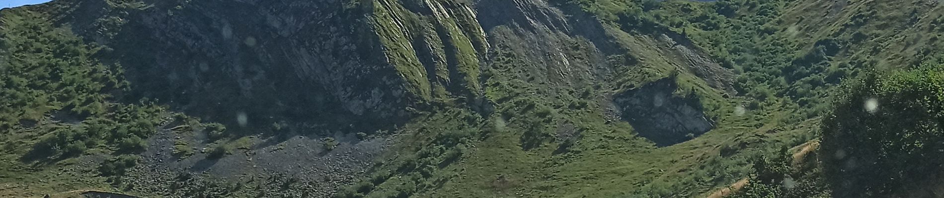
Trail 4x4 of 14.7 km to be discovered at Auvergne-Rhône-Alpes, Savoy, La Giettaz. This trail is proposed by annefrance70.
Photos


Positioning
Country:
France
Region :
Auvergne-Rhône-Alpes
Department/Province :
Savoy
Municipality :
La Giettaz
Location:
Unknown
Start:(Dec)
Start:(UTM)
303345 ; 5082913 (32T) N.
Comments