


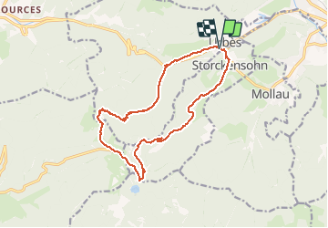
Urbès - Col des Perches

bob68
User

Length
15.6 km

Max alt
1137 m

Uphill gradient
733 m
Km-Effort
25 km

Min alt
450 m

Downhill gradient
734 m
Boucle
Yes
Creation date :
2014-12-10 00:00:00.0
Updated on :
2014-12-10 00:00:00.0
3h28
Difficulty : Difficult

FREE GPS app for hiking
 SityTrail
IGN / Geographical institutes
SityTrail Plus
The world is yours!
About
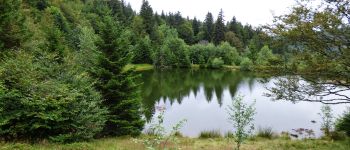
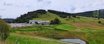
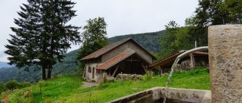
Trail Walking of 15.6 km to be discovered at Grand Est, Haut-Rhin, Urbès. This trail is proposed by bob68.
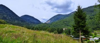
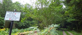
Photos


Positioning
Country:
France
Region :
Grand Est
Department/Province :
Haut-Rhin
Municipality :
Urbès
Location:
Unknown
Start:(Dec)
Start:(UTM)
347078 ; 5305227 (32T) N.
Comments